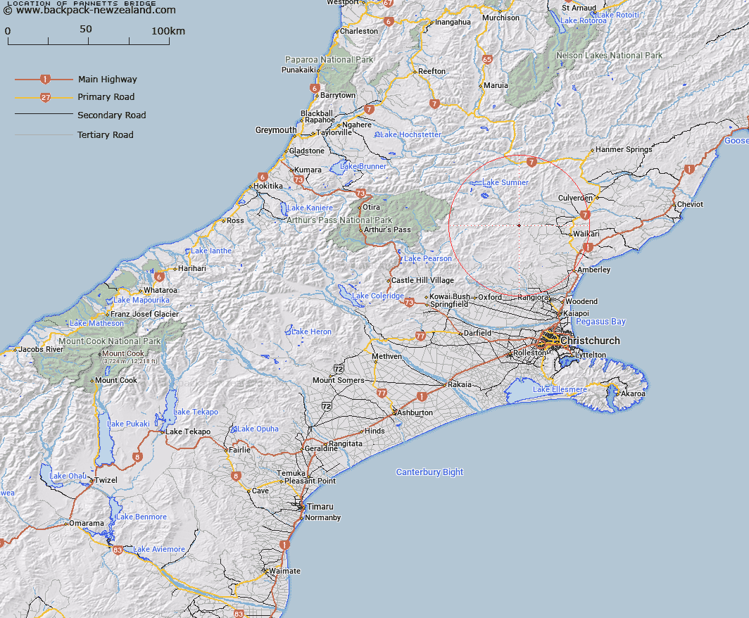
Map showing location of Pannetts Bridge
LINZ description: On the North Branch, Waipara River where it crosses Virginia River.
Latitude: -42.919941
Longitude: 172.430196
Northing: 5247918
Easting: 1553495.9
Land District: Canterbury
Feat Type: Bridge
Latitude: -42.919941
Longitude: 172.430196
Northing: 5247918
Easting: 1553495.9
Land District: Canterbury
Feat Type: Bridge

Scroll down to see a more detailed road map and below that a topographical map showing the location of Pannetts Bridge. The road map has been supplied by openstreetmap and the topographical map of Pannetts Bridge has been supplied by Land Information New Zealand (LINZ).
Yes you can use the top static map for you school/university project or personal website with a link back. Contact me for any commercial use.
[ A ] [ B ] [ C ] [ D ] [ E ] [ F ] [ G ] [ H ] [ I ] [ J ] [ K ] [ L ] [ M ] [ N ] [ O ] [ P ] [ Q ] [ R ] [ S ] [ T ] [ U ] [ V ] [ W ] [ X ] [ Y ] [ Z ]