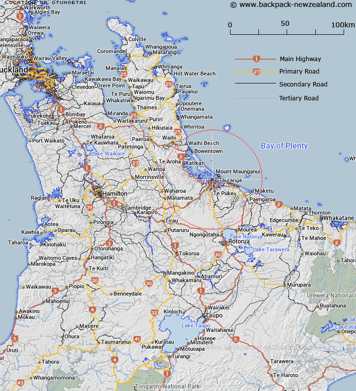
Map showing location of Otumoetai
LINZ description: Located across Tauranga Harbour from Mount Maunganui and bounded west by the suburb of Matua, southwest by the suburbs of Bellevue and Brookfield and east by Waikareao Estuary. NZTopo50-BD37 774259.
Latitude: -37.672244
Longitude: 176.144315
Northing: 5825896
Easting: 1877322.1
Land District: South Auckland
Feat Type: Suburb
Latitude: -37.672244
Longitude: 176.144315
Northing: 5825896
Easting: 1877322.1
Land District: South Auckland
Feat Type: Suburb

Scroll down to see a more detailed road map and below that a topographical map showing the location of Otumoetai. The road map has been supplied by openstreetmap and the topographical map of Otumoetai has been supplied by Land Information New Zealand (LINZ).
Yes you can use the top static map for you school/university project or personal website with a link back. Contact me for any commercial use.
[ A ] [ B ] [ C ] [ D ] [ E ] [ F ] [ G ] [ H ] [ I ] [ J ] [ K ] [ L ] [ M ] [ N ] [ O ] [ P ] [ Q ] [ R ] [ S ] [ T ] [ U ] [ V ] [ W ] [ X ] [ Y ] [ Z ]