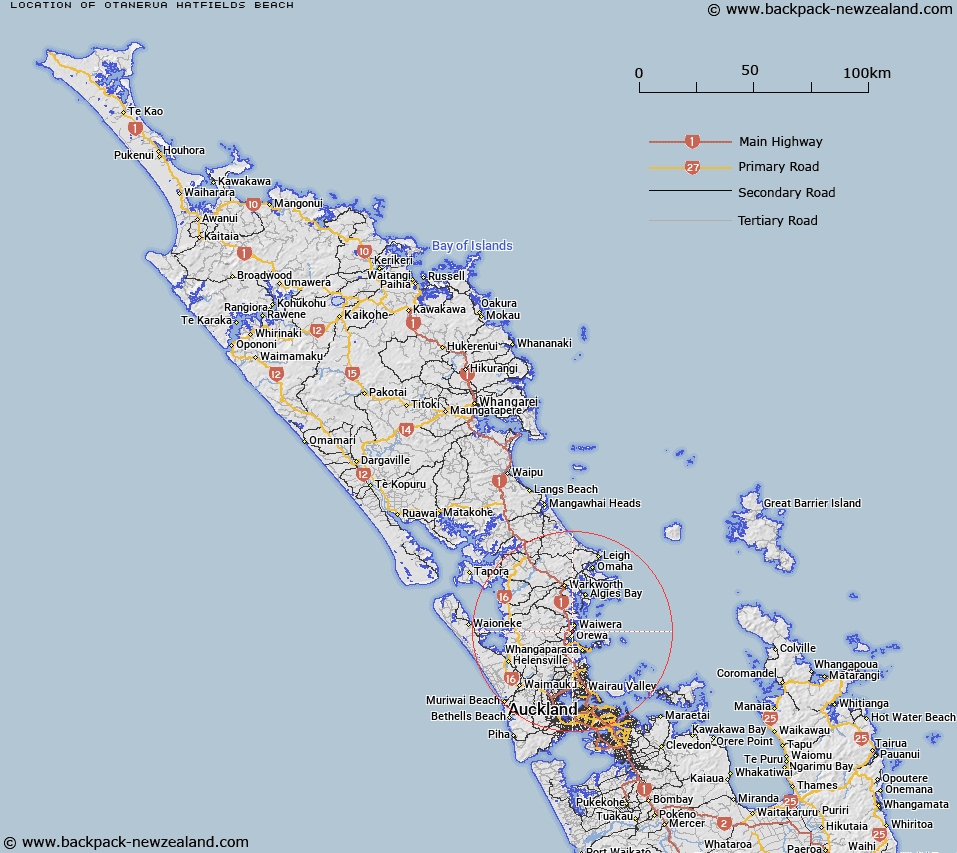
Map showing location of Ōtānerua / Hatfields Beach
LINZ description: A beach located in Whangaparaoa Bay approximately 2.5 km north of Orewa. NZTopo50 AZ31, GR 518 525 to AZ31, GR 517 519. Feature shown on: NZMS260 R10 Edition 2 1994.
Latitude: -36.566056
Longitude: 174.696111
Northing: 5951926.2
Easting: 1751773.1
Land District: North Auckland
Feat Type: Beach
Latitude: -36.566056
Longitude: 174.696111
Northing: 5951926.2
Easting: 1751773.1
Land District: North Auckland
Feat Type: Beach

Scroll down to see a more detailed road map and below that a topographical map showing the location of Ōtānerua / Hatfields Beach. The road map has been supplied by openstreetmap and the topographical map of Ōtānerua / Hatfields Beach has been supplied by Land Information New Zealand (LINZ).
Yes you can use the top static map for you school/university project or personal website with a link back. Contact me for any commercial use.
[ A ] [ B ] [ C ] [ D ] [ E ] [ F ] [ G ] [ H ] [ I ] [ J ] [ K ] [ L ] [ M ] [ N ] [ O ] [ P ] [ Q ] [ R ] [ S ] [ T ] [ U ] [ V ] [ W ] [ X ] [ Y ] [ Z ]