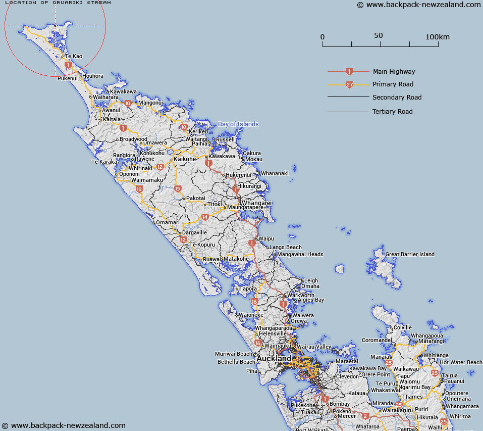
Map showing location of Ōruariki Stream
LINZ description: Stream flowing generally northerly into Ngaruariki Stream, along the northern-most coast of the North Island. Not named on current mapping. Not Oruaruki Stream
Latitude: -34.42655
Longitude: 172.918296
Northing: 6190544.4
Easting: 1592492.8
Land District: North Auckland
Feat Type: Stream
Latitude: -34.42655
Longitude: 172.918296
Northing: 6190544.4
Easting: 1592492.8
Land District: North Auckland
Feat Type: Stream

Scroll down to see a more detailed road map and below that a topographical map showing the location of Ōruariki Stream. The road map has been supplied by openstreetmap and the topographical map of Ōruariki Stream has been supplied by Land Information New Zealand (LINZ).
Yes you can use the top static map for you school/university project or personal website with a link back. Contact me for any commercial use.
[ A ] [ B ] [ C ] [ D ] [ E ] [ F ] [ G ] [ H ] [ I ] [ J ] [ K ] [ L ] [ M ] [ N ] [ O ] [ P ] [ Q ] [ R ] [ S ] [ T ] [ U ] [ V ] [ W ] [ X ] [ Y ] [ Z ]