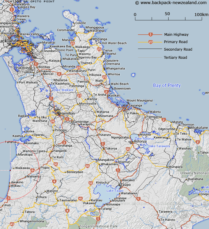
Map showing location of Opito Point


LINZ description: Small coastal point located 2.1km South of Ngarupupu Point. Block IX Whareorino Survey District.
Latitude: -38.496778
Longitude: 174.634091
Northing: 5737799
Easting: 1742500
Land District: South Auckland
Feat Type: Point


Scroll down to see a more detailed road map and below that a topographical map showing the location of Opito Point. The road map has been supplied by openstreetmap and the topographical map of Opito Point has been supplied by Land Information New Zealand (LINZ).

Yes you can use the top static map for you school/university project or personal website with a link back. Contact me for any commercial use.

Opito Point Map New Zealand


New Zealand places in our database
[ A ] [ B ] [ C ] [ D ] [ E ] [ F ] [ G ] [ H ] [ I ] [ J ] [ K ] [ L ] [ M ] [ N ] [ O ] [ P ] [ Q ] [ R ] [ S ] [ T ] [ U ] [ V ] [ W ] [ X ] [ Y ] [ Z ]


Closest 20 Points to Opito Point

Ngarupupu Point ( 2.11km )   Te Mauku Point ( 5.2km )   Taungaururoa Point ( 9.01km )   Tirua Point ( 12.21km )   Tirau Point ( 12.21km )   Tapirimoko Point ( 14.93km )   Kaitangata Point ( 17.12km )   Matataniwha Point ( 17.99km )   Te Ruaoteata Point ( 21.08km )   Waikumera Point ( 30.99km )   Umukaha Point ( 35.35km )   Paparoa Point ( 40.22km )   Te Arero Point ( 42.05km )   Wairere Point ( 42.35km )   Kaiate Point ( 42.51km )   Tokatapu Point ( 42.62km )   Anaomaki Point ( 42.62km )   Heteri Point ( 42.92km )   Te Kawau Point ( 42.94km )   Maire Point ( 43.03km )   Honipaka Point ( 43.15km )   Albatross Point ( 43.3km )   Arataura Point ( 43.32km )   Lemon Point ( 43.36km )   Waipapa Point ( 43.64km )   Rewarewa Point ( 43.86km )   Kowhai Point ( 43.9km )   Te Rangiora Point ( 44km )   Paparoa Point ( 44.02km )   Otamaehu Point ( 44.09km )   Onepoto Point ( 44.45km )   Ohaua Point ( 44.47km )   Nathan Point (Ohaua) ( 44.48km )   Pakingahau Point ( 44.49km )   Waipuha Point ( 44.5km )   Wharetanu Point ( 44.67km )   Te Umuroa Point ( 44.79km )   Totara Point ( 44.88km )   Ururoa Point ( 44.92km )   Pariokariwa Point ( 45.15km )