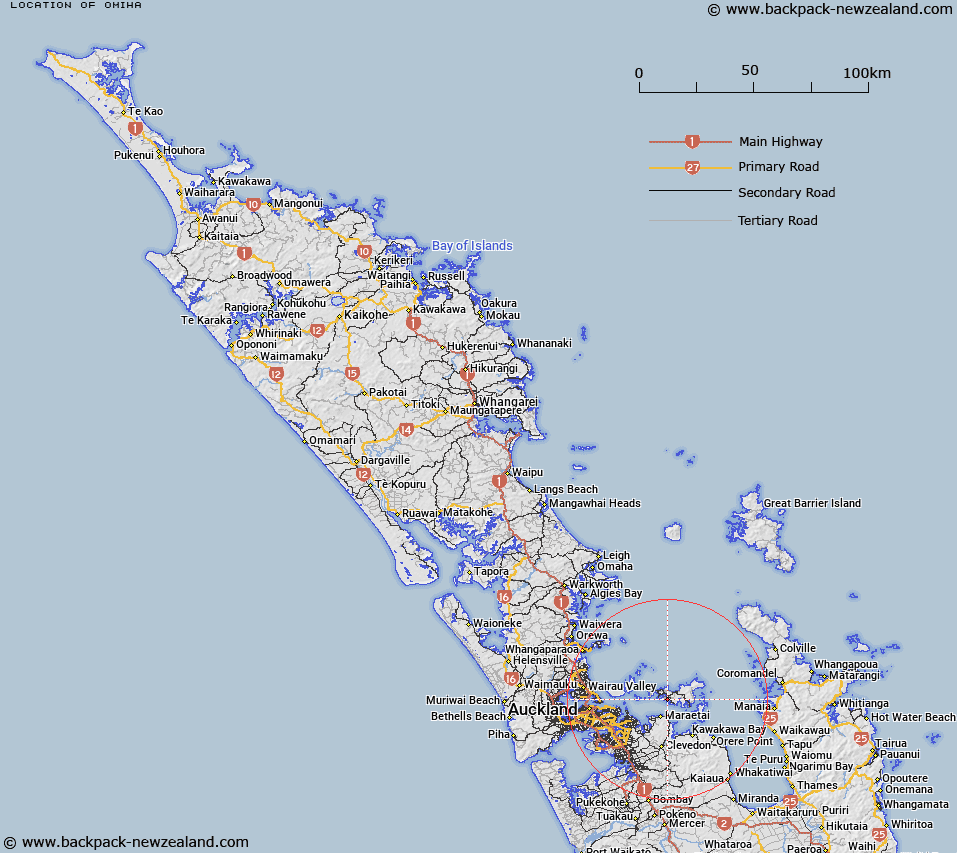
Map showing location of Omiha
LINZ description: A residential locality/village on Waiheke Island, bound to the south by Kuakarau Bay and Omiha Bay, and approximately 6km southeast of Oneroa township. Feature shown on: NZMS260 S11 Edition 2 1994; NZTopo50-BA33 839234.
Latitude: -36.817491
Longitude: 175.061755
Northing: 5923390.4
Easting: 1783895.7
Land District: North Auckland
Feat Type: Locality
Latitude: -36.817491
Longitude: 175.061755
Northing: 5923390.4
Easting: 1783895.7
Land District: North Auckland
Feat Type: Locality

Scroll down to see a more detailed road map and below that a topographical map showing the location of Omiha. The road map has been supplied by openstreetmap and the topographical map of Omiha has been supplied by Land Information New Zealand (LINZ).
Yes you can use the top static map for you school/university project or personal website with a link back. Contact me for any commercial use.
[ A ] [ B ] [ C ] [ D ] [ E ] [ F ] [ G ] [ H ] [ I ] [ J ] [ K ] [ L ] [ M ] [ N ] [ O ] [ P ] [ Q ] [ R ] [ S ] [ T ] [ U ] [ V ] [ W ] [ X ] [ Y ] [ Z ]