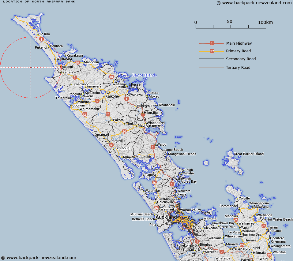
Map showing location of North Ahipara Bank


LINZ description: Western Northland Shelf Northern of 2 banks on the continental shelf offshore from west coast of northland. A small bank with two crests reaching 50 m.
Latitude: -35.05
Longitude: 172.883333
Northing: 6121405.9
Easting: 1589360.5
Land District: North Auckland
Feat Type: Bank


Scroll down to see a more detailed road map and below that a topographical map showing the location of North Ahipara Bank. The road map has been supplied by openstreetmap and the topographical map of North Ahipara Bank has been supplied by Land Information New Zealand (LINZ).

Yes you can use the top static map for you school/university project or personal website with a link back. Contact me for any commercial use.

North Ahipara Bank Map New Zealand


New Zealand places in our database
[ A ] [ B ] [ C ] [ D ] [ E ] [ F ] [ G ] [ H ] [ I ] [ J ] [ K ] [ L ] [ M ] [ N ] [ O ] [ P ] [ Q ] [ R ] [ S ] [ T ] [ U ] [ V ] [ W ] [ X ] [ Y ] [ Z ]


Closest 20 Banks to North Ahipara Bank

Ahipara Banks ( 4.89km )   South Ahipara Bank ( 10.23km )   Ahiaruhe Shell Bank ( 57.39km )   Pandora Bank ( 62.92km )   Onoke Bank ( 64.57km )   Middle Bank ( 67.91km )   Columbia Bank / Te Nuku-o-Mourea ( 72.95km )   Columbia Reef ( 72.95km )   Columbia Bank ( 72.95km )   Burt Bank ( 96.61km )   Brampton Bank ( 111.8km )   Munro Bank ( 121.74km )   Snake Bank ( 166.39km )   McDonald Bank ( 167.48km )   Mair Bank ( 171.46km )   Calliope Bank ( 172.27km )   Middle Bank ( 182.56km )   Lady Franklin Bank ( 188.07km )   Tapora Bank ( 195.75km )   Kakaraia Flats ( 205.81km )   Omokoiti Flats ( 207.83km )   Kaipara Flats ( 209.46km )   Duder Spit ( 260.13km )   North Bank ( 264.44km )   Motukaraka Bank ( 265.48km )   South Bank ( 267.48km )   Huia Bank ( 267.66km )   Te Tau Bank ( 267.69km )   Karore Bank ( 270.2km )   Hangore Bank ( 276.95km )   Poutawa Bank ( 281.33km )   Hikihiki Bank ( 282.83km )   Raglan Bar ( 352.26km )   Matakana Bank ( 408.66km )   Centre Bank ( 412.31km )   Te Arawa High ( 467.92km )   Otutere Bank ( 504.33km )   Patea Banks ( 542.36km )   North Trap ( 553.1km )   South Trap ( 555.4km )