Map showing location of No 2 Creek


LINZ description: Feature shown on: NZMS260 M34 Edition 1 1991 Limited Revision 1996
Latitude: -43.132722
Longitude: 172.609
Northing: 5224372.3
Easting: 1568198.9
Land District: Canterbury
Feat Type: Stream


Scroll down to see a more detailed road map and below that a topographical map showing the location of No 2 Creek. The road map has been supplied by openstreetmap and the topographical map of No 2 Creek has been supplied by Land Information New Zealand (LINZ).

Yes you can use the top static map for you school/university project or personal website with a link back. Contact me for any commercial use.
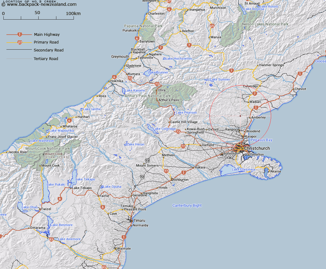
No 2 Creek Map New Zealand


New Zealand places in our database
[ A ] [ B ] [ C ] [ D ] [ E ] [ F ] [ G ] [ H ] [ I ] [ J ] [ K ] [ L ] [ M ] [ N ] [ O ] [ P ] [ Q ] [ R ] [ S ] [ T ] [ U ] [ V ] [ W ] [ X ] [ Y ] [ Z ]


Closest 20 Streams to No 2 Creek

No 1 Creek ( 0.99km )   Washpen Creek ( 2.11km )   Kowai River North Branch ( 3.1km )   Kowai River South Branch ( 4.04km )   Watsons Creek ( 5.74km )   Bushy Creek ( 7.01km )   Boby Stream ( 7.41km )   Foxs Creek ( 8.59km )   Makerikeri River ( 9km )   Grey River West Branch ( 10.43km )   Shaw Creek ( 10.49km )   Stony Creek ( 11.27km )   Waipara River ( 11.32km )   Grey River ( 12.36km )   Karetu River ( 12.92km )   Kowai River ( 13.7km )   Birds Eye Stream ( 13.77km )   Weka Creek ( 14.52km )   Hut Stream ( 14.65km )   Saltwater Creek ( 14.73km )   Nicholls Stream ( 15.05km )   Kowhai Stream ( 15.07km )   Waipara River South Branch ( 16.03km )   Archers Stream ( 16.46km )   Fox Creek ( 16.93km )   Rocky Stream ( 17km )   Blue Mountain Stream ( 17.4km )   Heathstock Stream ( 17.47km )   Waipara River Middle Branch ( 18.08km )   Limestone Creek ( 18.16km )   Bullock Creek ( 18.25km )   Round Hill Stream ( 18.65km )   Waikuku Stream ( 18.71km )   Mount Thomas Stream ( 19.07km )   North Brook ( 20.02km )   Matagouri Stream ( 20.07km )   Manilla Stream ( 20.67km )   Teardrop Stream ( 20.78km )   Gorge Stream ( 20.95km )   Tapley Stream ( 21.14km )