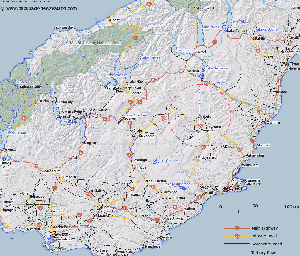
Map showing location of No 1 Spec Gully


LINZ description: Feature shown on: NZMS260 H41 Edition 1 1989 Reprinted 1994
Latitude: -45.008944
Longitude: 170.159944
Northing: 5012131.6
Easting: 1376194.9
Land District: Otago
Feat Type: Valley


Scroll down to see a more detailed road map and below that a topographical map showing the location of No 1 Spec Gully. The road map has been supplied by openstreetmap and the topographical map of No 1 Spec Gully has been supplied by Land Information New Zealand (LINZ).

Yes you can use the top static map for you school/university project or personal website with a link back. Contact me for any commercial use.
No 1 Spec Gully Map New Zealand


New Zealand places in our database
[ A ] [ B ] [ C ] [ D ] [ E ] [ F ] [ G ] [ H ] [ I ] [ J ] [ K ] [ L ] [ M ] [ N ] [ O ] [ P ] [ Q ] [ R ] [ S ] [ T ] [ U ] [ V ] [ W ] [ X ] [ Y ] [ Z ]


Closest 20 Valleys to No 1 Spec Gully

No 2 Spec Gully ( 1.54km )   Spec Gully ( 3.46km )   Home Gully ( 4.04km )   Butchers Gully ( 4.54km )   Coal Pit Gully ( 4.75km )   Enterprise Gully ( 5.54km )   Chain Gully ( 10.23km )   Store Gully ( 10.62km )   Clarks Gully ( 12.27km )   Long Gully ( 14.33km )   Second Gully ( 14.82km )   Dillons Gorge ( 16.16km )   Third Gully ( 16.34km )   White Sow Valley ( 16.44km )   Green Gully ( 18.8km )   Rambling Gorge ( 19.54km )   Blue Gully ( 20.59km )   Pierces Gorge ( 21.54km )   Coal Gully ( 22.37km )   Pegleg Gully ( 23.8km )   Pennyweight Gully ( 25.8km )   Gimmerburn Gorge ( 25.81km )   Shamrock Gully ( 26.5km )   Long Gully ( 28.3km )   Long Gully ( 29.4km )   Fluming Gully ( 30.65km )   Stotburn Gorge ( 30.69km )   Scrubby Gully ( 31.14km )   Ida Valley ( 31.43km )   Pringles Gully ( 33.37km )   Wheelers Gully ( 34.08km )   Mine Gully ( 34.72km )   Diggers Gully ( 35.22km )   Rough Gully ( 35.41km )   Cattle Gully ( 35.55km )   Big Gully ( 36.93km )   Humbug Gully ( 37.05km )   Long Gully ( 37.19km )   Welshmans Gully ( 37.19km )   Trimbells Gully ( 38.44km )