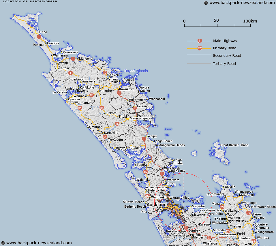
Map showing location of Ngataikorapa
LINZ description: A place of tidal currents on the south shore of Motuihe. Map shows the name as "Nga taikorapa" and not in italics. Found on NZMS13 Rangitoto Survey District.
Latitude: -36.822227
Longitude: 174.939965
Northing: 5923092.4
Easting: 1773020.9
Land District: North Auckland
Feat Type: Marine Feature
Latitude: -36.822227
Longitude: 174.939965
Northing: 5923092.4
Easting: 1773020.9
Land District: North Auckland
Feat Type: Marine Feature

Scroll down to see a more detailed road map and below that a topographical map showing the location of Ngataikorapa. The road map has been supplied by openstreetmap and the topographical map of Ngataikorapa has been supplied by Land Information New Zealand (LINZ).
Yes you can use the top static map for you school/university project or personal website with a link back. Contact me for any commercial use.
[ A ] [ B ] [ C ] [ D ] [ E ] [ F ] [ G ] [ H ] [ I ] [ J ] [ K ] [ L ] [ M ] [ N ] [ O ] [ P ] [ Q ] [ R ] [ S ] [ T ] [ U ] [ V ] [ W ] [ X ] [ Y ] [ Z ]