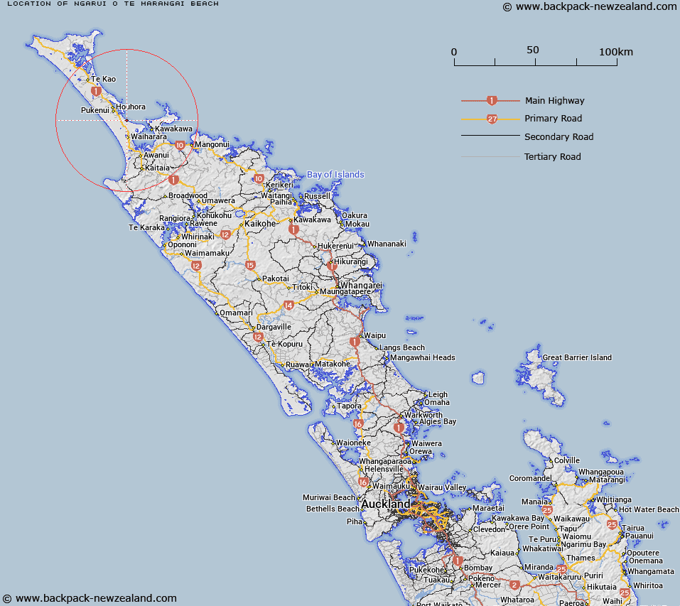
Map showing location of Ngārui-o-te-Marangai Beach
LINZ description: A beach in Rangaunu Bay, extending approximately 14km south-east from the entrance to Houhora Harbour to Otiaia Point. Feature shown on: NZMS260 N03; NZTopo50-AU26 141463 to 256388.
Latitude: -34.862979
Longitude: 173.18462
Northing: 6142136.4
Easting: 1616874.9
Land District: North Auckland
Feat Type: Beach
Latitude: -34.862979
Longitude: 173.18462
Northing: 6142136.4
Easting: 1616874.9
Land District: North Auckland
Feat Type: Beach

Scroll down to see a more detailed road map and below that a topographical map showing the location of Ngārui-o-te-Marangai Beach. The road map has been supplied by openstreetmap and the topographical map of Ngārui-o-te-Marangai Beach has been supplied by Land Information New Zealand (LINZ).
Yes you can use the top static map for you school/university project or personal website with a link back. Contact me for any commercial use.
[ A ] [ B ] [ C ] [ D ] [ E ] [ F ] [ G ] [ H ] [ I ] [ J ] [ K ] [ L ] [ M ] [ N ] [ O ] [ P ] [ Q ] [ R ] [ S ] [ T ] [ U ] [ V ] [ W ] [ X ] [ Y ] [ Z ]