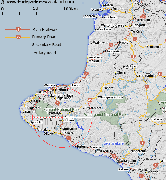
Map showing location of Ngaire
LINZ description: Locality situated 4km south of Stratfort, on State Highway 3
Latitude: -39.394833
Longitude: 174.300664
Northing: 5638600
Easting: 1712000
Land District: Taranaki
Feat Type: Locality
Latitude: -39.394833
Longitude: 174.300664
Northing: 5638600
Easting: 1712000
Land District: Taranaki
Feat Type: Locality

Scroll down to see a more detailed road map and below that a topographical map showing the location of Ngaire. The road map has been supplied by openstreetmap and the topographical map of Ngaire has been supplied by Land Information New Zealand (LINZ).
Yes you can use the top static map for you school/university project or personal website with a link back. Contact me for any commercial use.
[ A ] [ B ] [ C ] [ D ] [ E ] [ F ] [ G ] [ H ] [ I ] [ J ] [ K ] [ L ] [ M ] [ N ] [ O ] [ P ] [ Q ] [ R ] [ S ] [ T ] [ U ] [ V ] [ W ] [ X ] [ Y ] [ Z ]