Map showing location of Ngahere Hill
LINZ description: The hill from which Ngaherenui Stream and it's tributaries drains, 3.8km East by South-east of Kaweka Peak [Trig. J (Geodetic Code 1257)]. Block III Kuripapango Survey District.
Latitude: -39.289525
Longitude: 176.422532
Northing: 5645507.2
Easting: 1895186.6
Land District: Hawke's Bay
Feat Type: Hill
Latitude: -39.289525
Longitude: 176.422532
Northing: 5645507.2
Easting: 1895186.6
Land District: Hawke's Bay
Feat Type: Hill

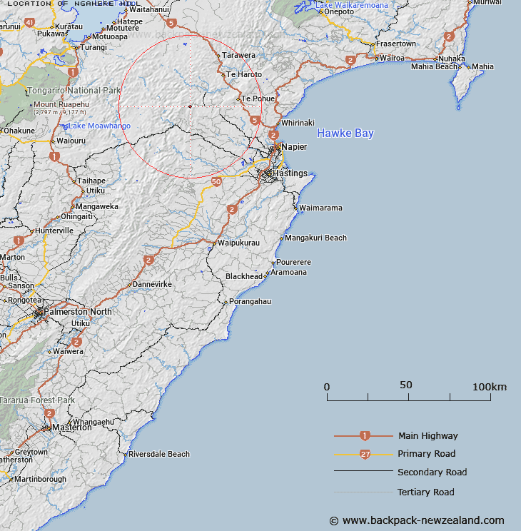
Scroll down to see a more detailed road map and below that a topographical map showing the location of Ngahere Hill. The road map has been supplied by openstreetmap and the topographical map of Ngahere Hill has been supplied by Land Information New Zealand (LINZ).
Yes you can use the top static map for you school/university project or personal website with a link back. Contact me for any commercial use.
[ A ] [ B ] [ C ] [ D ] [ E ] [ F ] [ G ] [ H ] [ I ] [ J ] [ K ] [ L ] [ M ] [ N ] [ O ] [ P ] [ Q ] [ R ] [ S ] [ T ] [ U ] [ V ] [ W ] [ X ] [ Y ] [ Z ]