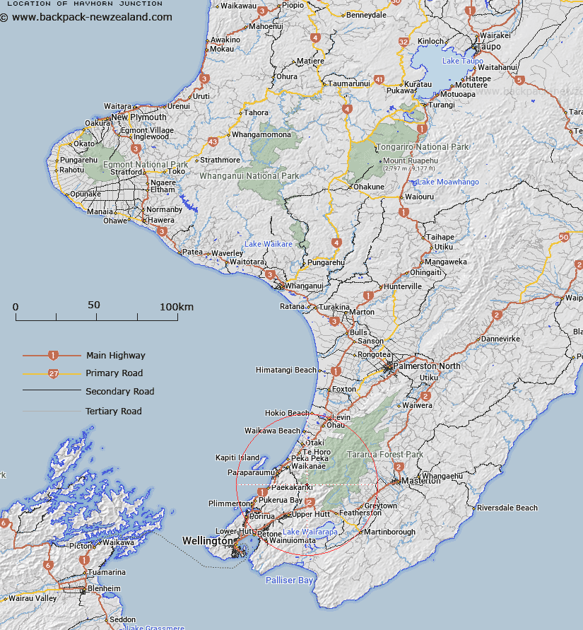
Map showing location of Maymorn Junction
LINZ description: Junction of the Waiotauru and Renata Ridge Tracks, at the western end of Renata Ridge. Block III, Akatarawa Survey District
Latitude: -40.965958
Longitude: 175.167343
Northing: 5462759.8
Easting: 1782376.8
Land District: Wellington
Feat Type: Railway Junction
Latitude: -40.965958
Longitude: 175.167343
Northing: 5462759.8
Easting: 1782376.8
Land District: Wellington
Feat Type: Railway Junction

Scroll down to see a more detailed road map and below that a topographical map showing the location of Maymorn Junction. The road map has been supplied by openstreetmap and the topographical map of Maymorn Junction has been supplied by Land Information New Zealand (LINZ).
Yes you can use the top static map for you school/university project or personal website with a link back. Contact me for any commercial use.
[ A ] [ B ] [ C ] [ D ] [ E ] [ F ] [ G ] [ H ] [ I ] [ J ] [ K ] [ L ] [ M ] [ N ] [ O ] [ P ] [ Q ] [ R ] [ S ] [ T ] [ U ] [ V ] [ W ] [ X ] [ Y ] [ Z ]