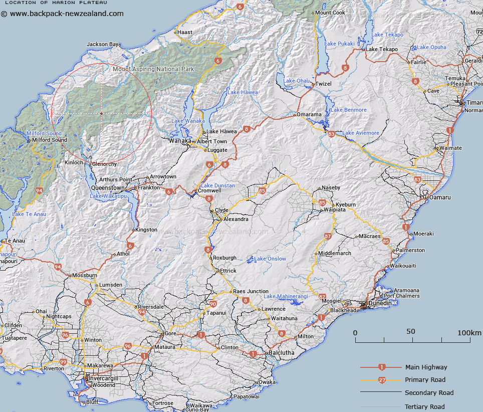
Map showing location of Marion Plateau
LINZ description: A large snowfield between Mounts Ian, Victoria, and Tiber
Latitude: -44.472259
Longitude: 168.473806
Northing: 5065700
Easting: 1240000
Land District: Otago
Feat Type: Plateau
Latitude: -44.472259
Longitude: 168.473806
Northing: 5065700
Easting: 1240000
Land District: Otago
Feat Type: Plateau

Scroll down to see a more detailed road map and below that a topographical map showing the location of Marion Plateau. The road map has been supplied by openstreetmap and the topographical map of Marion Plateau has been supplied by Land Information New Zealand (LINZ).
Yes you can use the top static map for you school/university project or personal website with a link back. Contact me for any commercial use.
[ A ] [ B ] [ C ] [ D ] [ E ] [ F ] [ G ] [ H ] [ I ] [ J ] [ K ] [ L ] [ M ] [ N ] [ O ] [ P ] [ Q ] [ R ] [ S ] [ T ] [ U ] [ V ] [ W ] [ X ] [ Y ] [ Z ]