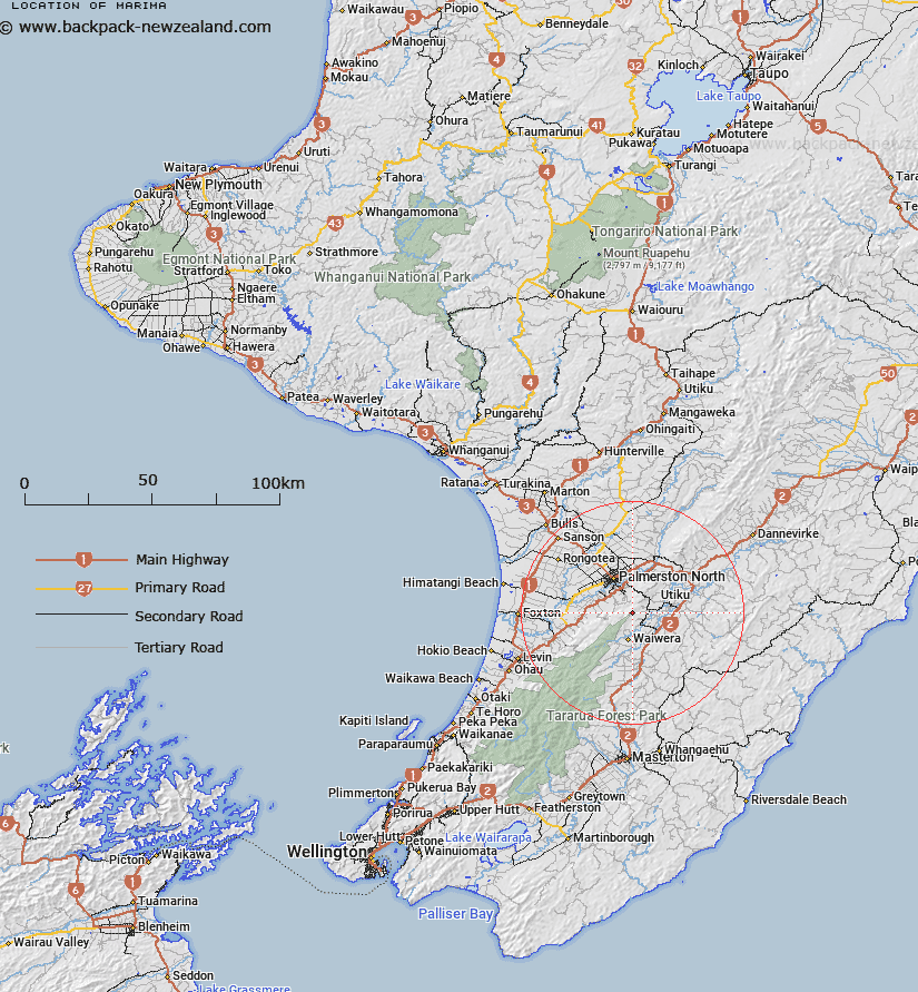
Map showing location of Marima
LINZ description: A hill at height 563m located in the Tararua Range approximately 13km southeast of Palmerston North. NZTopo50-BM34 274170. Feature shown on: NZMS260 T24 Edition 1 1980; NZTopo50-BM34 274170.
Latitude: -40.46658
Longitude: 175.682966
Northing: 5516997.1
Easting: 1827464.1
Land District: Wellington
Feat Type: Hill
Latitude: -40.46658
Longitude: 175.682966
Northing: 5516997.1
Easting: 1827464.1
Land District: Wellington
Feat Type: Hill

Scroll down to see a more detailed road map and below that a topographical map showing the location of Marima. The road map has been supplied by openstreetmap and the topographical map of Marima has been supplied by Land Information New Zealand (LINZ).
Yes you can use the top static map for you school/university project or personal website with a link back. Contact me for any commercial use.
[ A ] [ B ] [ C ] [ D ] [ E ] [ F ] [ G ] [ H ] [ I ] [ J ] [ K ] [ L ] [ M ] [ N ] [ O ] [ P ] [ Q ] [ R ] [ S ] [ T ] [ U ] [ V ] [ W ] [ X ] [ Y ] [ Z ]