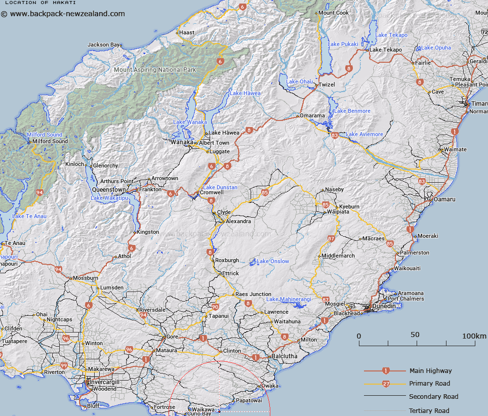
Map showing location of Makati


LINZ description: Headland on south east Otago coast, south of Waipati Estuary
Latitude: -46.638255
Longitude: 169.361108
Northing: 4828600
Easting: 1321500
Land District: Otago
Feat Type: Point


Scroll down to see a more detailed road map and below that a topographical map showing the location of Makati. The road map has been supplied by openstreetmap and the topographical map of Makati has been supplied by Land Information New Zealand (LINZ).

Yes you can use the top static map for you school/university project or personal website with a link back. Contact me for any commercial use.

Makati Map New Zealand


New Zealand places in our database
[ A ] [ B ] [ C ] [ D ] [ E ] [ F ] [ G ] [ H ] [ I ] [ J ] [ K ] [ L ] [ M ] [ N ] [ O ] [ P ] [ Q ] [ R ] [ S ] [ T ] [ U ] [ V ] [ W ] [ X ] [ Y ] [ Z ]


Closest 20 Points to Makati

Wallace Head ( 3.74km )   Waiparau Head ( 6.58km )   Skeleton Point ( 10.35km )   Mahaka Point ( 10.94km )   Picnic Point ( 11.9km )   The Brothers Point ( 12.32km )   White Head ( 14.77km )   Pillans Head ( 16.03km )   North Head ( 17.2km )   Haywards Point ( 17.44km )   Irihuka ( 18.35km )   South Head ( 19.66km )   Flaxy Head ( 21.24km )   Slope Point ( 27.74km )   White Head ( 28.89km )   Black Point ( 30.2km )   Hungerford Point ( 30.75km )   Cabbage Point ( 31.68km )   Catlins Heads ( 32.11km )   Waipapa Point ( 39.32km )   Otara Point ( 39.32km )   Waipapapa Point ( 39.32km )   Nugget Point ( 40.77km )   Campbell Point ( 42.18km )   Coal Point ( 55.99km )   Parangiaio Point ( 64.08km )   North Head ( 64.16km )   South Point ( 67.35km )   West Point ( 69.34km )   Rocky Point ( 71.18km )   Tiwai Point ( 76.52km )   Stirling Point ( 76.53km )   Lookout Point ( 78.95km )   Green Point ( 80.68km )   Bushy Point ( 81.91km )   Quoin Point ( 82.15km )   Sandy Point ( 82.32km )   Barracouta Point ( 86.92km )   Steep Head ( 87.8km )   Sprat Point ( 90.22km )