Map showing location of Macs Valley


LINZ description: Feature shown on: NZMS260 H45 Edition 1 1981
Latitude: -46.078868
Longitude: 170.057735
Northing: 4892980.4
Easting: 1372501.2
Land District: Otago
Feat Type: Valley


Scroll down to see a more detailed road map and below that a topographical map showing the location of Macs Valley. The road map has been supplied by openstreetmap and the topographical map of Macs Valley has been supplied by Land Information New Zealand (LINZ).

Yes you can use the top static map for you school/university project or personal website with a link back. Contact me for any commercial use.
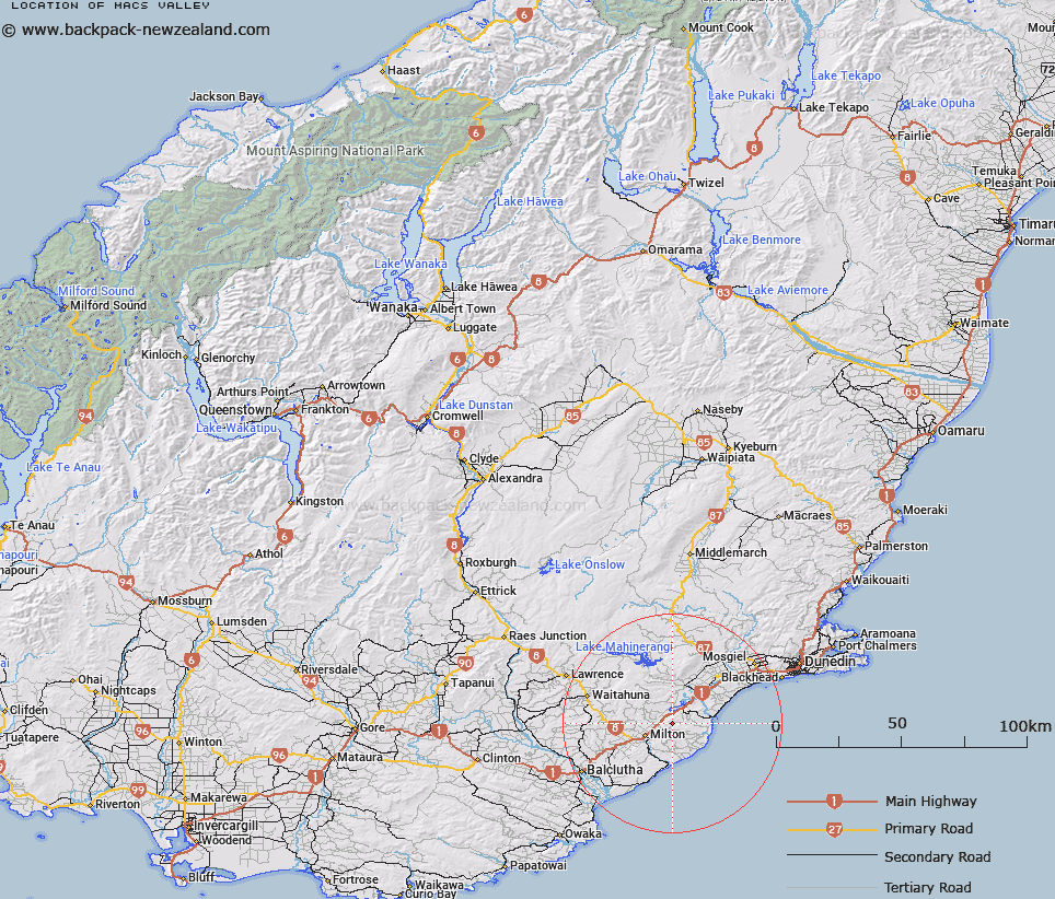
Macs Valley Map New Zealand


New Zealand places in our database
[ A ] [ B ] [ C ] [ D ] [ E ] [ F ] [ G ] [ H ] [ I ] [ J ] [ K ] [ L ] [ M ] [ N ] [ O ] [ P ] [ Q ] [ R ] [ S ] [ T ] [ U ] [ V ] [ W ] [ X ] [ Y ] [ Z ]


Closest 20 Valleys to Macs Valley

Upper Akatore Valley ( 3.65km )   Nuggety Gully ( 17.5km )   Shepherd Gully ( 18.64km )   Waitahuna Gully ( 21.02km )   Sticking Up Gully ( 26.85km )   Broadleaf Gully ( 33.57km )   Bluejacket Gully ( 34.4km )   Gabriels Gully ( 36.09km )   Munros Gully ( 37.6km )   Home Gully ( 37.77km )   Styles Gully ( 38.06km )   Fraser Gully ( 42.09km )   Green Gully ( 42.31km )   Youngs Valley ( 42.79km )   Reids Gully ( 42.81km )   Sailors Gully ( 42.91km )   Hawks Gully ( 43.42km )   Blacksmith Gully ( 43.44km )   Dead Horse Gully ( 44.09km )   Bethunes Gully ( 47.29km )   Fiddlers Gully ( 54.73km )   Black Gully ( 59.27km )   Whiskey Gully ( 60.01km )   Welshmans Gully ( 60.11km )   Brandy Gully ( 63.41km )   Cabbage Tree Valley ( 67.86km )   Landslip Valley ( 72.61km )   Garden Gully ( 82.36km )   Devils Gorge ( 83.15km )   Maori Tommy Gully ( 84.67km )   Trimbells Gully ( 89.47km )   Big Gully ( 93.74km )   Mine Gully ( 94.66km )   Rough Gully ( 95.02km )   Stotburn Gorge ( 98.3km )   Colmans Gully ( 101.66km )   Carters Gully ( 102.77km )   Nuggety Gully ( 102.89km )   Graveyard Gully ( 103.23km )   Gimmerburn Gorge ( 104.9km )