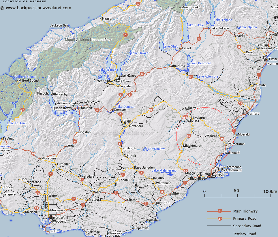
Map showing location of Macraes
LINZ description: A township approximately 50 km north of Dunedin. Feature shown on: NZMS260 I42 Edition 1 1984 Limited Revision 1996; NZTopo50-CD17 987714.
Latitude: -45.38197
Longitude: 170.428776
Northing: 4971400
Easting: 1398700
Land District: Otago
Feat Type: Locality
Latitude: -45.38197
Longitude: 170.428776
Northing: 4971400
Easting: 1398700
Land District: Otago
Feat Type: Locality

Scroll down to see a more detailed road map and below that a topographical map showing the location of Macraes. The road map has been supplied by openstreetmap and the topographical map of Macraes has been supplied by Land Information New Zealand (LINZ).
Yes you can use the top static map for you school/university project or personal website with a link back. Contact me for any commercial use.
[ A ] [ B ] [ C ] [ D ] [ E ] [ F ] [ G ] [ H ] [ I ] [ J ] [ K ] [ L ] [ M ] [ N ] [ O ] [ P ] [ Q ] [ R ] [ S ] [ T ] [ U ] [ V ] [ W ] [ X ] [ Y ] [ Z ]