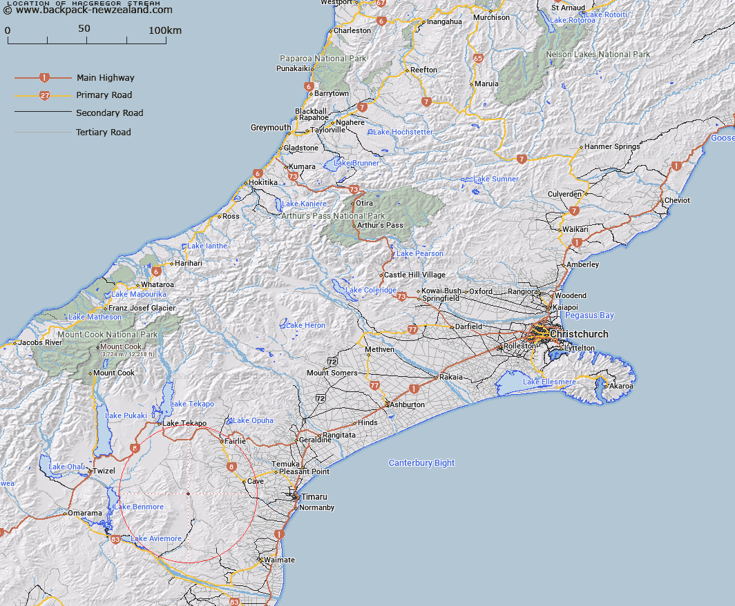
Map showing location of MacGregor Stream


LINZ description: Stream draining the eastern slopes of Mount MacGregor, [Trig. D (Geodetic Code AMHY)], flowing South-eastwards and joining Hakataramea River opposite Two Legged Stream, 1km South-east of Round Hill homestead. Mackenzie Survey District.
Latitude: -44.378318
Longitude: 170.643983
Northing: 5083407.2
Easting: 1412311.6
Land District: Canterbury
Feat Type: Stream


Scroll down to see a more detailed road map and below that a topographical map showing the location of MacGregor Stream. The road map has been supplied by openstreetmap and the topographical map of MacGregor Stream has been supplied by Land Information New Zealand (LINZ).

Yes you can use the top static map for you school/university project or personal website with a link back. Contact me for any commercial use.

MacGregor Stream Map New Zealand


New Zealand places in our database
[ A ] [ B ] [ C ] [ D ] [ E ] [ F ] [ G ] [ H ] [ I ] [ J ] [ K ] [ L ] [ M ] [ N ] [ O ] [ P ] [ Q ] [ R ] [ S ] [ T ] [ U ] [ V ] [ W ] [ X ] [ Y ] [ Z ]


Closest 20 Streams to MacGregor Stream

Longden Stream ( 1.42km )   Two Legged Stream ( 3.19km )   Nessing Stream ( 3.44km )   Dunstan Stream ( 3.9km )   Grampian Stream ( 5.26km )   Scour Stream ( 5.56km )   Massack Stream ( 5.86km )   Marsack Stream ( 5.86km )   Morton Stream ( 6.77km )   Anderson Stream ( 7.17km )   Dalgety Stream ( 8.38km )   Two Mile Stream ( 8.45km )   Opawa River ( 10.32km )   Gorman Stream ( 10.42km )   Wyatt Stream ( 11.05km )   Hakataramea River ( 11.3km )   Peter Stream ( 11.84km )   Pringle Stream ( 12.01km )   Hankey Stream ( 12.72km )   Hawkey Stream ( 12.72km )   Matson Stream ( 12.91km )   Kennaway Stream ( 13.6km )   Balloon Stream ( 13.87km )   Cattle Creek ( 13.92km )   Hay Stream ( 13.99km )   Blue Duck Stream ( 14.33km )   Francis Stream ( 15.2km )   Moffat Stream ( 15.37km )   Fett Stream ( 15.55km )   Exe Stream ( 16.52km )   Blainslie Stream ( 16.61km )   Rocky Point Stream ( 17km )   Chamberlain Stream ( 17.12km )   Lockharts Stream ( 17.29km )   Delamain Stream ( 17.36km )   Basin Stream ( 17.75km )   Nimrod Stream ( 17.75km )   Little Opawa River ( 18.17km )   Preston Stream ( 18.84km )   Motukaika River ( 18.85km )