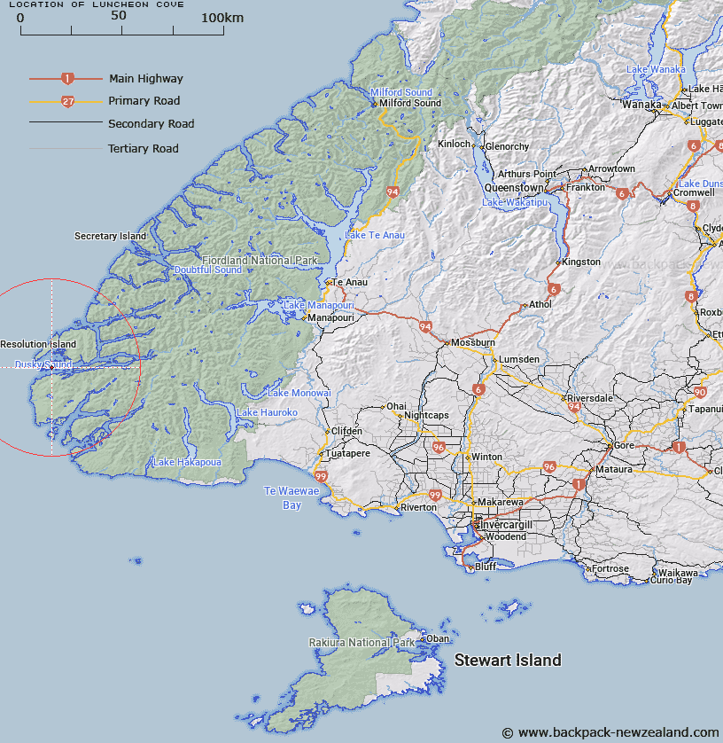
Map showing location of Luncheon Cove


LINZ description: Sheltered cove in Dusky Sound. On the south-eastern coast of Anchor Island, inside Many Islands.
Latitude: -45.764925
Longitude: 166.521722
Northing: 4911623.8
Easting: 1096281
Land District: Southland
Feat Type: Bay


Scroll down to see a more detailed road map and below that a topographical map showing the location of Luncheon Cove. The road map has been supplied by openstreetmap and the topographical map of Luncheon Cove has been supplied by Land Information New Zealand (LINZ).

Yes you can use the top static map for you school/university project or personal website with a link back. Contact me for any commercial use.

Luncheon Cove Map New Zealand


New Zealand places in our database
[ A ] [ B ] [ C ] [ D ] [ E ] [ F ] [ G ] [ H ] [ I ] [ J ] [ K ] [ L ] [ M ] [ N ] [ O ] [ P ] [ Q ] [ R ] [ S ] [ T ] [ U ] [ V ] [ W ] [ X ] [ Y ] [ Z ]


Closest 20 Bays to Luncheon Cove

Anchor Island Harbour ( 2.44km )   Shelter Cove ( 3.7km )   Pickersgill Harbour ( 5.49km )   Little Harbour ( 6.06km )   Earshell Cove ( 6.1km )   Dusky Sound ( 6.19km )   Indian Cove ( 6.23km )   Cascade Cove ( 7km )   The Basin ( 7.07km )   Fannin Bay ( 7.2km )   Facile Harbour ( 8.04km )   Cormorant Cove ( 8.96km )   Goose Cove ( 10.34km )   Duck Cove ( 10.65km )   Detention Cove ( 11.97km )   Woodhen Cove ( 14.97km )   Lake Cove ( 18.03km )   Edwardson Sound ( 19.87km )   Sportsman Cove ( 20.38km )   Muscle Cove ( 20.52km )   Disappointment Cove ( 21.14km )   Stevens Cove ( 21.73km )   Fisherman Bay ( 23.6km )   North Port ( 23.98km )   Watering Cove ( 24.2km )   Fanny Bay ( 24.57km )   Cunaris Sound ( 25.45km )   Sunday Cove ( 25.49km )   Wet Jacket Arm ( 25.6km )   Landing Bay ( 26.53km )   Beach Harbour ( 27.04km )   Islet Cove ( 27.46km )   Chalky Inlet ( 28km )   Cliff Cove ( 28.75km )   Halt Bay ( 29.31km )   First Cove ( 29.83km )   Sealers Bay ( 30.6km )   Anchorage Cove ( 30.81km )   Last Cove ( 31.24km )   South Port ( 31.85km )