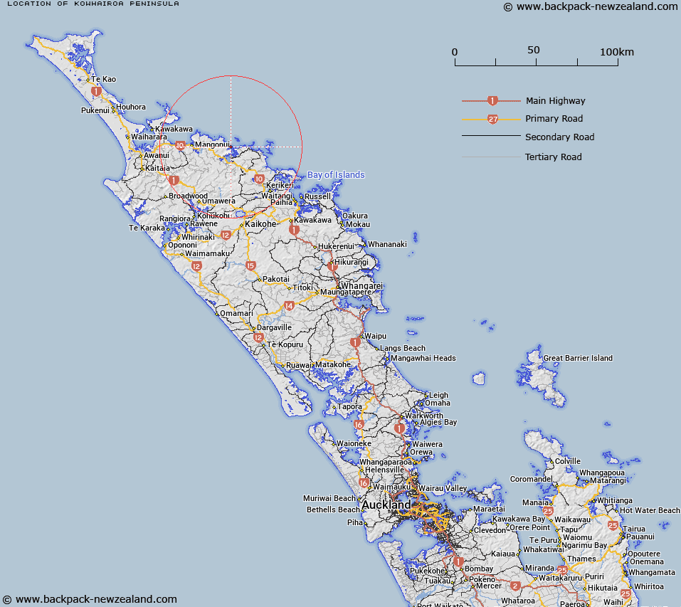
Map showing location of Kōwhairoa Peninsula
LINZ description: A peninsula that extends east for approximately 4km between Taupo Bay (West Bay) and Pekapeka Bay into Whangaroa Bay. NZTopo50-AU28 658267 to AV28 690259.
Latitude: -34.99967
Longitude: 173.743292
Northing: 6126741.2
Easting: 1667827.6
Land District: North Auckland
Feat Type: Peninsula
Latitude: -34.99967
Longitude: 173.743292
Northing: 6126741.2
Easting: 1667827.6
Land District: North Auckland
Feat Type: Peninsula

Scroll down to see a more detailed road map and below that a topographical map showing the location of Kōwhairoa Peninsula. The road map has been supplied by openstreetmap and the topographical map of Kōwhairoa Peninsula has been supplied by Land Information New Zealand (LINZ).
Yes you can use the top static map for you school/university project or personal website with a link back. Contact me for any commercial use.
[ A ] [ B ] [ C ] [ D ] [ E ] [ F ] [ G ] [ H ] [ I ] [ J ] [ K ] [ L ] [ M ] [ N ] [ O ] [ P ] [ Q ] [ R ] [ S ] [ T ] [ U ] [ V ] [ W ] [ X ] [ Y ] [ Z ]