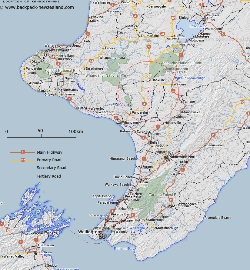
Map showing location of Kawaiotawaki
LINZ description: A 778m hill located approximately 15km south of Ohakune. A beaconed geodetic mark, code B1XD is located at the summit. Feature shown on: NZMS260 S21 Edition 1 1987; NZTopo50-BK34 045190
Latitude: -39.553997
Longitude: 175.379769
Northing: 5619038
Easting: 1804463
Land District: Wellington
Feat Type: Hill
Latitude: -39.553997
Longitude: 175.379769
Northing: 5619038
Easting: 1804463
Land District: Wellington
Feat Type: Hill

Scroll down to see a more detailed road map and below that a topographical map showing the location of Kawaiotawaki. The road map has been supplied by openstreetmap and the topographical map of Kawaiotawaki has been supplied by Land Information New Zealand (LINZ).
Yes you can use the top static map for you school/university project or personal website with a link back. Contact me for any commercial use.
[ A ] [ B ] [ C ] [ D ] [ E ] [ F ] [ G ] [ H ] [ I ] [ J ] [ K ] [ L ] [ M ] [ N ] [ O ] [ P ] [ Q ] [ R ] [ S ] [ T ] [ U ] [ V ] [ W ] [ X ] [ Y ] [ Z ]