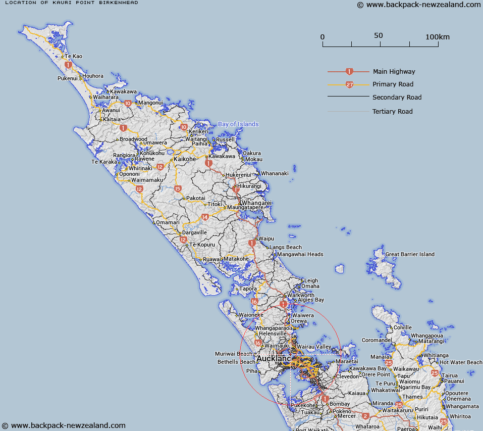
Map showing location of Kauri Point Birkenhead


LINZ description: A coastal point on the northern shores of Waitemata Harbour, at the southern end of Kendall Bay, Chatswood (suburb). NZTopo50-BA31 525231.
Latitude: -36.826037
Longitude: 174.709905
Northing: 5923061.5
Easting: 1752493
Land District: North Auckland
Feat Type: Point


Scroll down to see a more detailed road map and below that a topographical map showing the location of Kauri Point Birkenhead. The road map has been supplied by openstreetmap and the topographical map of Kauri Point Birkenhead has been supplied by Land Information New Zealand (LINZ).

Yes you can use the top static map for you school/university project or personal website with a link back. Contact me for any commercial use.

Kauri Point Birkenhead Map New Zealand


New Zealand places in our database
[ A ] [ B ] [ C ] [ D ] [ E ] [ F ] [ G ] [ H ] [ I ] [ J ] [ K ] [ L ] [ M ] [ N ] [ O ] [ P ] [ Q ] [ R ] [ S ] [ T ] [ U ] [ V ] [ W ] [ X ] [ Y ] [ Z ]


Closest 20 Points to Kauri Point Birkenhead

Point Erin ( 3.04km )   Point Chevalier ( 3.22km )   Stokes Point ( 3.36km )   Scott Point ( 4.24km )   Bofors Point ( 4.26km )   Te Onekiritea Point ( 4.55km )   Orion Point ( 4.58km )   O'Neills Point ( 5.19km )   Harrier Point ( 5.21km )   Orukuwai Point ( 5.37km )   Stanley Point ( 5.67km )   Luckens Point ( 5.78km )   Lucken Point ( 5.78km )   Barrys Point ( 6.2km )   Clark Point ( 6.39km )   Duders Point ( 6.64km )   Pinetree Point ( 7.27km )   Point Resolution ( 7.63km )   Onetaipu Point ( 8.11km )   Takapuna Head ( 8.75km )   Rahopara Point ( 8.99km )   Hobson Point ( 9km )   North Head ( 9.29km )   Takaparawha Point ( 9.8km )   Riverlea Point ( 9.99km )   Bastion Point ( 10.39km )   Harkin Point ( 11.21km )   Tatarata Point ( 11.44km )   Te Whau Point ( 11.74km )   Flax Point ( 11.75km )   Cape Horn ( 12.59km )   Gower Point ( 12.78km )   Tipau Point ( 13.42km )   Achilles Point ( 13.83km )   Opou Point ( 14.01km )   Shag Point ( 14.84km )   West Tamaki Head ( 14.86km )   Toroa Point (Gull Point) ( 15.25km )   Point England ( 15.83km )   Laingholm Point ( 16.32km )