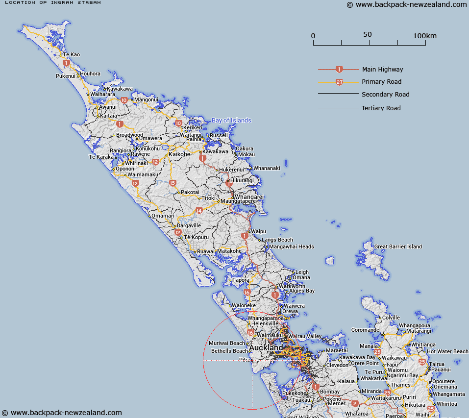
Map showing location of Ingram Stream


LINZ description: Tributary of Piha Stream near the mouth at Piha.
Latitude: -36.950159
Longitude: 174.475433
Northing: 5909639.8
Easting: 1731368
Land District: North Auckland
Feat Type: Stream


Scroll down to see a more detailed road map and below that a topographical map showing the location of Ingram Stream. The road map has been supplied by openstreetmap and the topographical map of Ingram Stream has been supplied by Land Information New Zealand (LINZ).

Yes you can use the top static map for you school/university project or personal website with a link back. Contact me for any commercial use.

Ingram Stream Map New Zealand


New Zealand places in our database
[ A ] [ B ] [ C ] [ D ] [ E ] [ F ] [ G ] [ H ] [ I ] [ J ] [ K ] [ L ] [ M ] [ N ] [ O ] [ P ] [ Q ] [ R ] [ S ] [ T ] [ U ] [ V ] [ W ] [ X ] [ Y ] [ Z ]


Closest 20 Streams to Ingram Stream

Wekatahi Creek ( 0.83km )   Otokitoki Stream ( 1.03km )   Glen Esk Stream ( 1.13km )   Marawhara Stream ( 1.23km )   Honeymoon Stream ( 1.24km )   Tapp Stream ( 1.46km )   Maungaroa Stream ( 1.49km )   Noke Stream ( 1.58km )   Whakatai Stream ( 1.6km )   Piha Stream ( 1.7km )   Lovett Stream ( 1.75km )   Lovatts Stream ( 1.75km )   Lovatt Stream ( 1.75km )   Melville Stream ( 1.92km )   Horama Stream ( 1.99km )   Ussher Stream ( 2.07km )   McKenzie Stream ( 2.15km )   Te Wharau Stream ( 2.58km )   Cemetery Stream ( 2.81km )   Centennial Stream ( 2.88km )   Ocean View Stream ( 2.98km )   Farley Stream ( 3.03km )   Gentil Stream ( 3.14km )   Karekare Stream ( 3.18km )   Stockwell Stream ( 3.35km )   Perihi Stream ( 3.51km )   Mobbs Stream ( 3.67km )   Browne Stream ( 3.82km )   Murdoch Stream ( 3.96km )   Anawhata Stream ( 3.99km )   Company Stream ( 4.03km )   Opal Pool Stream ( 4.22km )   Pig Wallow Stream ( 4.29km )   Basket Stream ( 4.59km )   Cannibal Creek ( 4.69km )   Darkey Stream ( 4.7km )   Huia Stream ( 4.71km )   Nutting Stream ( 4.73km )   Byles Stream ( 4.75km )   Kuataika Stream ( 4.78km )