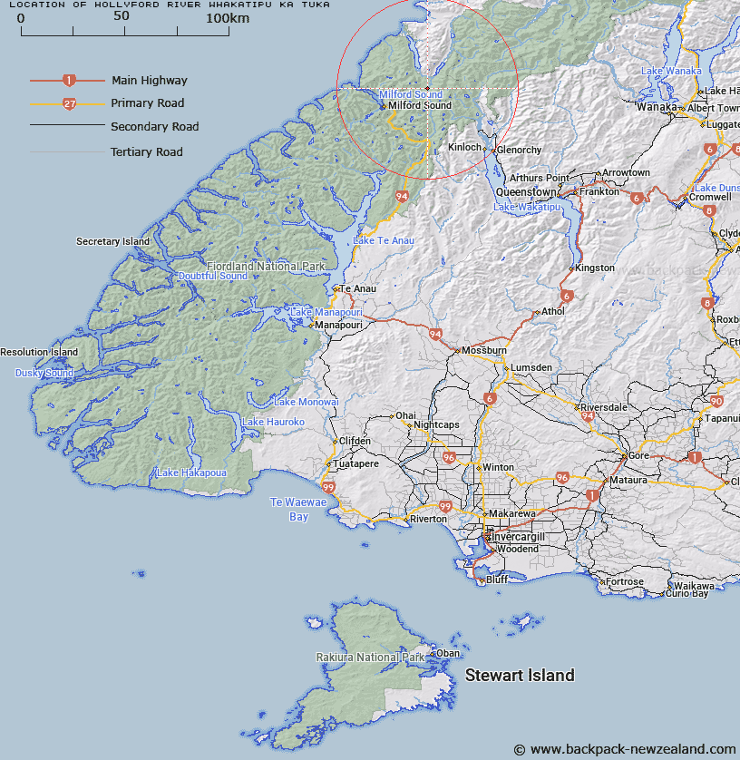
Map showing location of Hollyford River/Whakatipu Kā Tuka
LINZ description: Feature shown on: NZMS260-D39 115403; Infomap 346-02 Te Wai Pounamu Edition 1 1995; NZTopo50-CA09 119499
Latitude: -44.599457
Longitude: 168.109867
Northing: 5049900
Easting: 1211900
Land District: Southland, Otago
Feat Type: Stream
Latitude: -44.599457
Longitude: 168.109867
Northing: 5049900
Easting: 1211900
Land District: Southland, Otago
Feat Type: Stream

Scroll down to see a more detailed road map and below that a topographical map showing the location of Hollyford River/Whakatipu Kā Tuka. The road map has been supplied by openstreetmap and the topographical map of Hollyford River/Whakatipu Kā Tuka has been supplied by Land Information New Zealand (LINZ).
Yes you can use the top static map for you school/university project or personal website with a link back. Contact me for any commercial use.
[ A ] [ B ] [ C ] [ D ] [ E ] [ F ] [ G ] [ H ] [ I ] [ J ] [ K ] [ L ] [ M ] [ N ] [ O ] [ P ] [ Q ] [ R ] [ S ] [ T ] [ U ] [ V ] [ W ] [ X ] [ Y ] [ Z ]