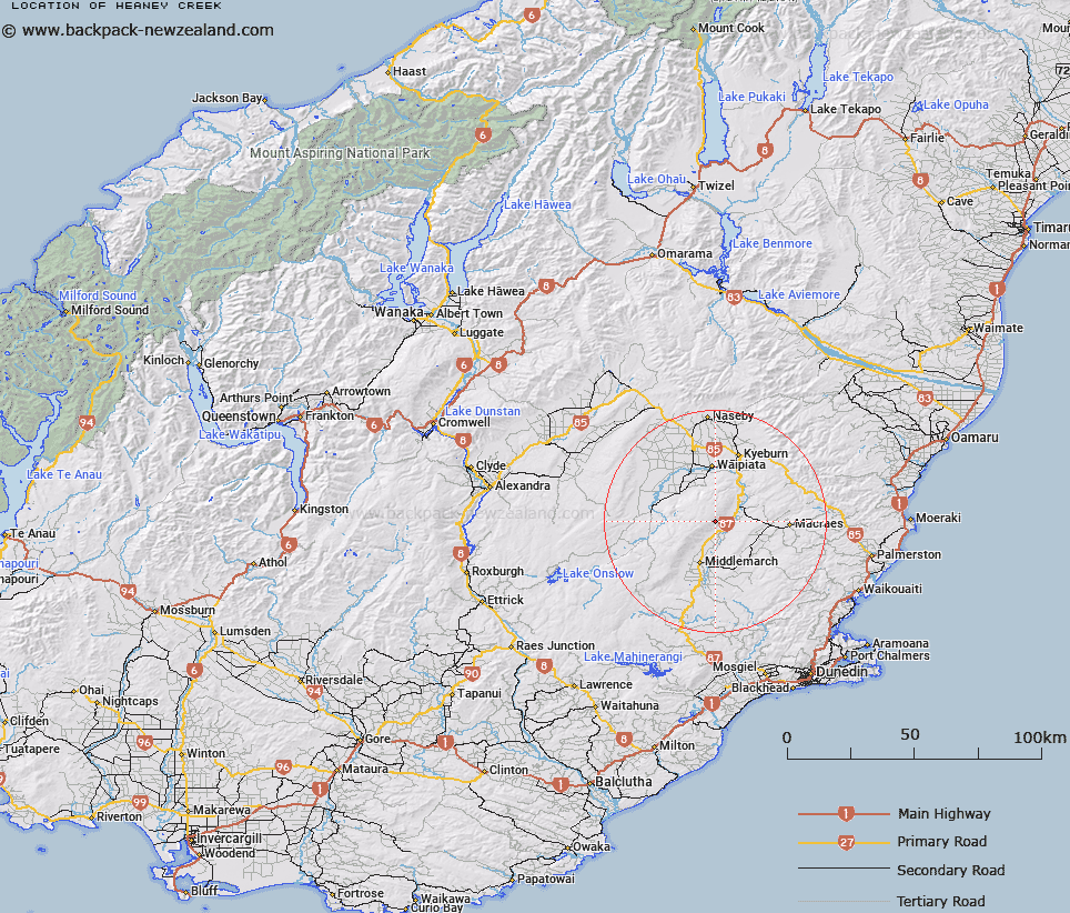
Map showing location of Heaney Creek
LINZ description: Flowing south-easterly from the north end of Rock and Pillar Range into the Taieri River. Feature shown on Feature shown on: NZMS260 H42 Edition 1 1987; NZTopo50 CD16-Middlemarch, source: GR 755 736 to confluence: GR 818 706.
Latitude: -45.36966
Longitude: 170.173404
Northing: 4972096.7
Easting: 1378659.2
Land District: Otago
Feat Type: Stream
Latitude: -45.36966
Longitude: 170.173404
Northing: 4972096.7
Easting: 1378659.2
Land District: Otago
Feat Type: Stream

Scroll down to see a more detailed road map and below that a topographical map showing the location of Heaney Creek. The road map has been supplied by openstreetmap and the topographical map of Heaney Creek has been supplied by Land Information New Zealand (LINZ).
Yes you can use the top static map for you school/university project or personal website with a link back. Contact me for any commercial use.
[ A ] [ B ] [ C ] [ D ] [ E ] [ F ] [ G ] [ H ] [ I ] [ J ] [ K ] [ L ] [ M ] [ N ] [ O ] [ P ] [ Q ] [ R ] [ S ] [ T ] [ U ] [ V ] [ W ] [ X ] [ Y ] [ Z ]