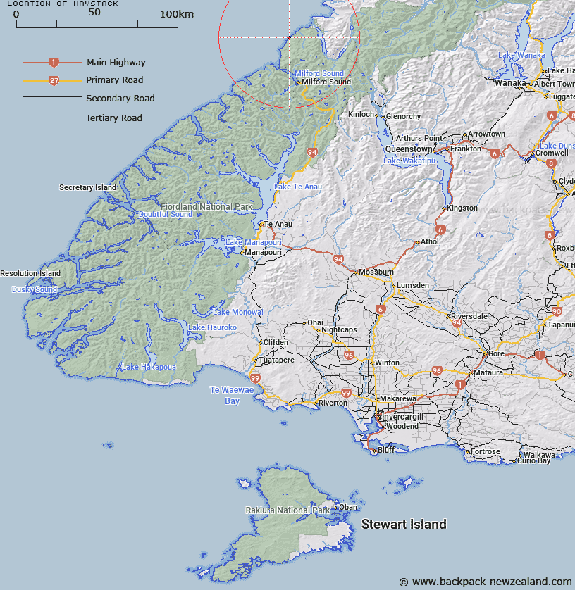
Map showing location of Haystack


LINZ description: Name for headland south of No Mans Beach
Latitude: -44.435218
Longitude: 167.873663
Northing: 5066991
Easting: 1192005.7
Land District: Southland
Feat Type: Point


Scroll down to see a more detailed road map and below that a topographical map showing the location of Haystack. The road map has been supplied by openstreetmap and the topographical map of Haystack has been supplied by Land Information New Zealand (LINZ).

Yes you can use the top static map for you school/university project or personal website with a link back. Contact me for any commercial use.

Haystack Map New Zealand


New Zealand places in our database
[ A ] [ B ] [ C ] [ D ] [ E ] [ F ] [ G ] [ H ] [ I ] [ J ] [ K ] [ L ] [ M ] [ N ] [ O ] [ P ] [ Q ] [ R ] [ S ] [ T ] [ U ] [ V ] [ W ] [ X ] [ Y ] [ Z ]


Closest 20 Points to Haystack

Yates Point ( 8.16km )   Stripe Point ( 13.53km )   Wart Point ( 16.17km )   Saint Anne Point ( 16.97km )   Fox Point ( 17.46km )   Greenstone Point ( 18.28km )   Dale Point ( 18.77km )   Williamson Point ( 21.71km )   Pater Point ( 22.79km )   Bridget Point ( 23.37km )   Awarua Point ( 24.29km )   Sandfly Point ( 27.73km )   Seabreeze Point ( 29.88km )   Longridge Point ( 34.08km )   Bell Point ( 37.01km )   Four Mile Point ( 39.16km )   Rocky Point ( 39.58km )   Fish Point ( 40.46km )   Cat Point ( 40.85km )   Bonar Knob ( 41.83km )   Tommy Point ( 46.38km )   Black Point ( 48.79km )   Turn Round Point ( 48.96km )   Windy Point ( 49.22km )   Chasland Head ( 49.38km )   Flat Point ( 51.08km )   Evening Point ( 55.07km )   Latitude Point ( 56.16km )   Boulder Point ( 56.77km )   Feldspar Point ( 56.89km )   Foliage Head ( 57.19km )   Sandfly Point ( 57.43km )   Cascade Point ( 61.65km )   Rata Point ( 64.6km )   Hourglass Point ( 72.46km )   Round Head ( 73.83km )   Burmeister Point ( 75.18km )   Shelter Point ( 75.51km )   Crag Point ( 76.9km )   Smoothwater Point ( 77.55km )