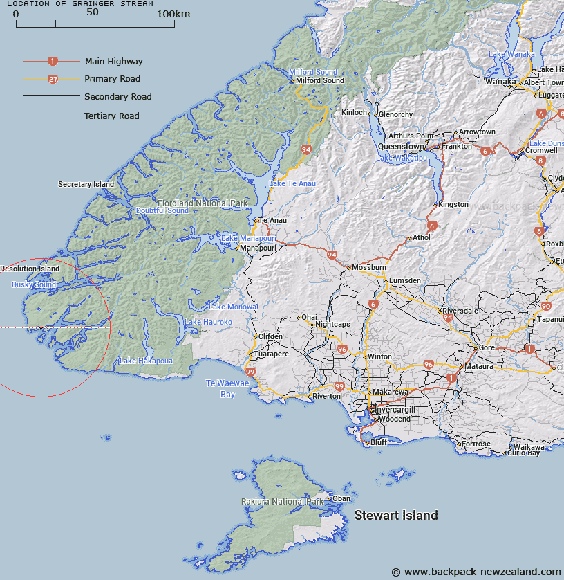
Map showing location of Grainger Stream


LINZ description: Stream commencing from its outlet along the eastern shores of Lake Hector, flowing generally easterly and southerly into the Western Passage of Chalky Inlet, located in southern Fiordland.
Latitude: -45.983064
Longitude: 166.527975
Northing: 4887432.2
Easting: 1098740.2
Land District: Southland
Feat Type: Stream


Scroll down to see a more detailed road map and below that a topographical map showing the location of Grainger Stream. The road map has been supplied by openstreetmap and the topographical map of Grainger Stream has been supplied by Land Information New Zealand (LINZ).

Yes you can use the top static map for you school/university project or personal website with a link back. Contact me for any commercial use.

Grainger Stream Map New Zealand


New Zealand places in our database
[ A ] [ B ] [ C ] [ D ] [ E ] [ F ] [ G ] [ H ] [ I ] [ J ] [ K ] [ L ] [ M ] [ N ] [ O ] [ P ] [ Q ] [ R ] [ S ] [ T ] [ U ] [ V ] [ W ] [ X ] [ Y ] [ Z ]


Closest 20 Streams to Grainger Stream

Shallow Creek ( 1.37km )   Kohe Creek ( 10.1km )   Newton River ( 11.12km )   No. 4 Creek ( 16.36km )   No. 3 Creek ( 16.76km )   No. 2 Creek ( 17.55km )   No. 1 Creek ( 17.99km )   Digger Creek ( 19.72km )   Carrick River ( 20.68km )   Flood Creek ( 20.68km )   Sealers No 1 Creek ( 20.92km )   Cook Stream ( 20.94km )   Sealers No 2 Creek ( 21.78km )   Macnamara Creek ( 22.85km )   Blacklock Stream ( 23.55km )   Gray River ( 23.73km )   Wilson River ( 23.92km )   Dawson Burn ( 24.58km )   Lumaluma Creek ( 26.06km )   Left Hand Branch ( 26.06km )   Gold Burn West Branch ( 26.61km )   Coal Burn ( 26.72km )   Kiwi Burn ( 27.62km )   Gold Burn East Branch ( 27.67km )   Jeanie Burn ( 28.39km )   Cavendish River ( 28.72km )   Gold Burn ( 28.92km )   Margaret Stream ( 29.22km )   Big River ( 29.34km )   Oho Creek ( 29.67km )   Grace Burn ( 31.24km )   Richard Burn ( 32.54km )   Andrew Burn ( 32.69km )   Dunlop Stream ( 34.22km )   Fred Burn ( 34.66km )   Shag River ( 34.94km )   Mike River ( 35.59km )   Long Burn ( 39.81km )   Aan River ( 42.62km )   Occasional Cove ( 42.97km )