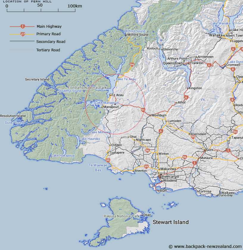
Map showing location of Fern Hill


LINZ description: Feature shown on: NZMS260 D43 Edition 1 1990
Latitude: -45.526278
Longitude: 167.782139
Northing: 4945326.8
Easting: 1192545
Land District: Southland
Feat Type: Hill


Scroll down to see a more detailed road map and below that a topographical map showing the location of Fern Hill. The road map has been supplied by openstreetmap and the topographical map of Fern Hill has been supplied by Land Information New Zealand (LINZ).

Yes you can use the top static map for you school/university project or personal website with a link back. Contact me for any commercial use.
Fern Hill Map New Zealand


New Zealand places in our database
[ A ] [ B ] [ C ] [ D ] [ E ] [ F ] [ G ] [ H ] [ I ] [ J ] [ K ] [ L ] [ M ] [ N ] [ O ] [ P ] [ Q ] [ R ] [ S ] [ T ] [ U ] [ V ] [ W ] [ X ] [ Y ] [ Z ]


Closest 20 Hills to Fern Hill

Mount York ( 5.24km )   Wood Hill ( 10.13km )   Freestone Hill ( 11.42km )   Harts Hill ( 12.26km )   Excelsior Peak ( 12.4km )   View Hill ( 12.49km )   Woodhen Hill ( 13.13km )   Tower Peak ( 13.36km )   Brown Peak ( 13.74km )   Danby Hill ( 13.93km )   Spear Peak ( 15.12km )   Clare Peak ( 16km )   Paddock Hill ( 16.74km )   Waterloo Peak ( 16.97km )   Gladstone Peak ( 17.13km )   White Hill ( 17.18km )   Lookout Hill ( 17.72km )   Pudding Hill ( 17.73km )   Mount Prospect ( 18.14km )   Aparima Peaks ( 19.23km )   Revelation Peaks ( 19.3km )   Mount Hamilton ( 20.3km )   Beehive ( 21.06km )   Mount Luxmore ( 21.59km )   Spence Peak ( 21.91km )   Te Anau Hill ( 22.29km )   McLean Peaks ( 22.99km )   Mount Moturau ( 23.67km )   Wairaki Peaks ( 24.02km )   North Braxton ( 24.25km )   Forward Peak ( 24.46km )   Little Hill ( 24.69km )   Brunel Peaks ( 24.73km )   Centre Hill ( 24.87km )   Dale Hill ( 25.1km )   Cone Peak ( 25.41km )   Mount Titiroa ( 25.53km )   Mackinnon Peaks ( 26.24km )   Mount Tinsley ( 26.44km )   South Braxton ( 26.55km )