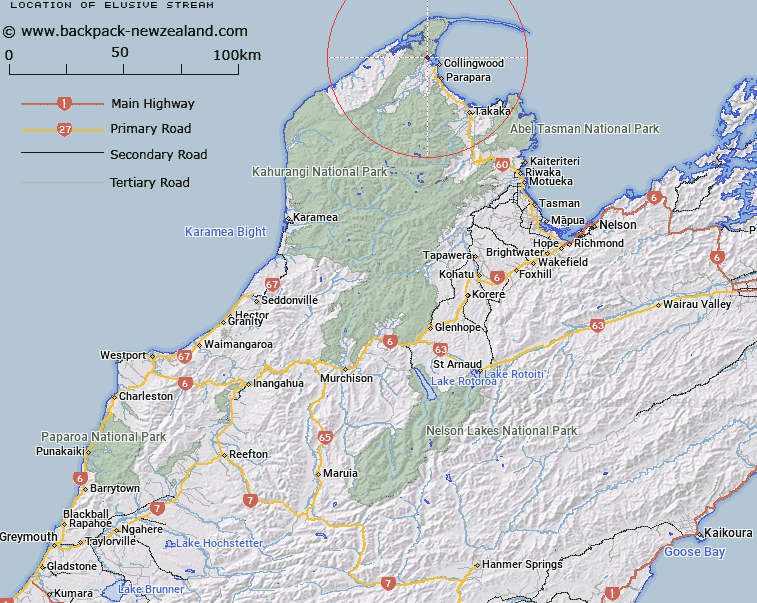
Map showing location of Elusive Stream


LINZ description: North branch tributary of Marble Creek, west of Confirmation Creek, joining Marble Creek 1.1km from Ruataniwha Inlet. Pakawau Survey District.
Latitude: -40.649165
Longitude: 172.638785
Northing: 5500125
Easting: 1569460.7
Land District: Nelson
Feat Type: Stream


Scroll down to see a more detailed road map and below that a topographical map showing the location of Elusive Stream. The road map has been supplied by openstreetmap and the topographical map of Elusive Stream has been supplied by Land Information New Zealand (LINZ).

Yes you can use the top static map for you school/university project or personal website with a link back. Contact me for any commercial use.

Elusive Stream Map New Zealand


New Zealand places in our database
[ A ] [ B ] [ C ] [ D ] [ E ] [ F ] [ G ] [ H ] [ I ] [ J ] [ K ] [ L ] [ M ] [ N ] [ O ] [ P ] [ Q ] [ R ] [ S ] [ T ] [ U ] [ V ] [ W ] [ X ] [ Y ] [ Z ]


Closest 20 Streams to Elusive Stream

Confirmation Creek ( 0.14km )   Marble Creek ( 0.61km )   Bluff Creek ( 0.71km )   Maffey Creek ( 1.54km )   Scrimgeours Creek ( 1.64km )   Gorge Creek ( 1.68km )   Plumbago Creek ( 2.58km )   Dolomite Creek ( 3.02km )   Boat Creek ( 3.04km )   North Branch Wairoa River ( 3.11km )   Coal Creek ( 4.33km )   South Branch Wairoa River ( 4.39km )   Taimatea Creek ( 4.47km )   Muddy Creek ( 4.78km )   ?timataura Creek ( 5.06km )   Wairoa River ( 5.36km )   Granity Creek ( 5.98km )   White Pine Creek ( 6.11km )   Burton Ale Creek ( 6.16km )   ?ng?wanga Creek ( 6.99km )   Bone Creek ( 7.04km )   P?kawau Creek ( 7.72km )   Little Granity Creek ( 7.77km )   MacKay Creek ( 7.87km )   Banjo Creek ( 8.05km )   Flowers Creek ( 9.14km )   Kaituna River ( 9.16km )   Island Creek ( 9.23km )   Mangar?kau Stream ( 9.38km )   Onetaua Creek ( 9.47km )   King Creek ( 9.65km )   Matakota Creek ( 10.01km )   Scott Creek ( 10.08km )   Appos Creek ( 10.18km )   Billy King Creek ( 10.3km )   Fletcher Creek ( 10.4km )   Ward Creek ( 10.59km )   Coal Creek ( 10.65km )   Washbourne Creek ( 10.85km )   Washbourn Creek ( 10.85km )