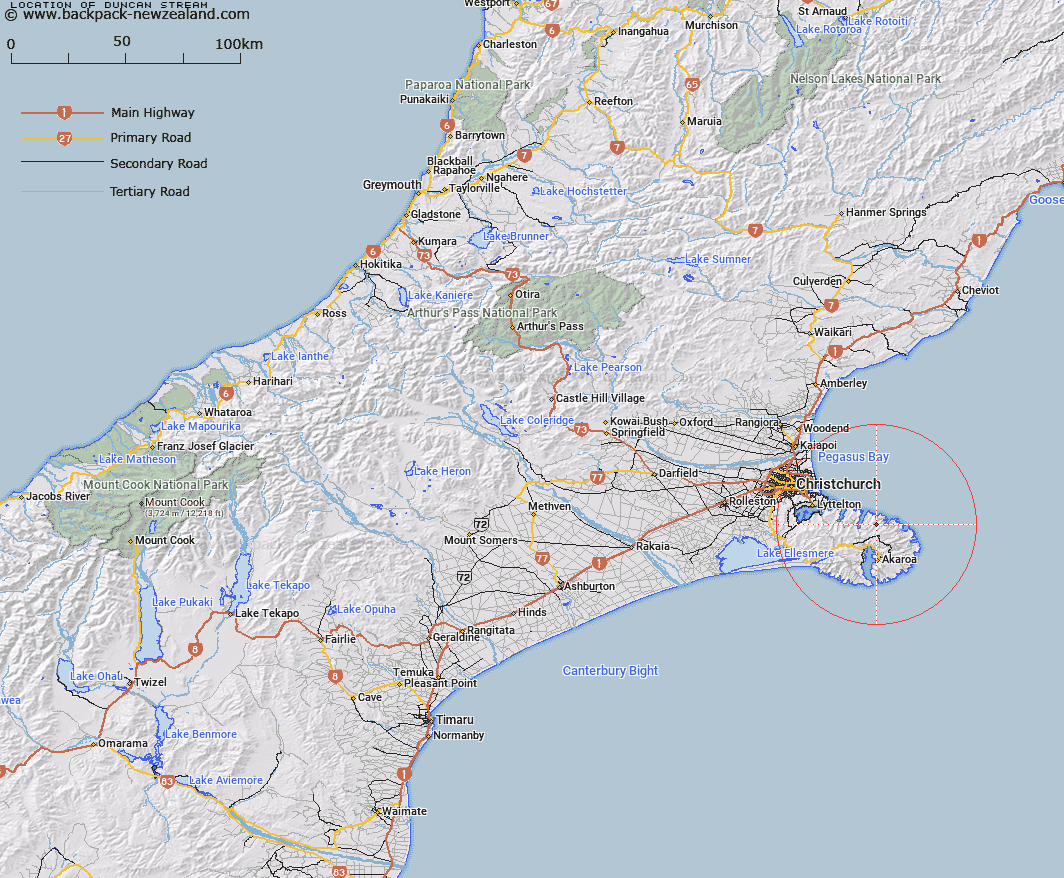
Map showing location of Duncan Stream


LINZ description: Stream which flows into Decanter Bay
Latitude: -43.672782
Longitude: 172.965539
Northing: 5164469
Easting: 1597222
Land District: Canterbury
Feat Type: Stream


Scroll down to see a more detailed road map and below that a topographical map showing the location of Duncan Stream. The road map has been supplied by openstreetmap and the topographical map of Duncan Stream has been supplied by Land Information New Zealand (LINZ).

Yes you can use the top static map for you school/university project or personal website with a link back. Contact me for any commercial use.

Duncan Stream Map New Zealand


New Zealand places in our database
[ A ] [ B ] [ C ] [ D ] [ E ] [ F ] [ G ] [ H ] [ I ] [ J ] [ K ] [ L ] [ M ] [ N ] [ O ] [ P ] [ Q ] [ R ] [ S ] [ T ] [ U ] [ V ] [ W ] [ X ] [ Y ] [ Z ]


Closest 20 Streams to Duncan Stream

Menzies Stream ( 2.49km )   Raupo Stream ( 4.62km )   Dick Stream ( 5.36km )   Pigeon Bay Stream ( 5.99km )   Totara Stream ( 7.2km )   Opara Stream ( 7.24km )   Pawsons Stream ( 7.99km )   Pipers Stream ( 8.17km )   Holmes Stream ( 8.24km )   Barrys Bay Stream ( 10.52km )   Koukourarata Stream ( 10.6km )   Maori Gully ( 10.6km )   Knight Stream ( 10.75km )   Te Puaha Stream ( 11.55km )   Owhetoro Stream ( 12.13km )   Le Bons Stream ( 12.88km )   Takamatua Stream ( 13.08km )   Hikuika Stream ( 13.24km )   Te Kawa Stream ( 13.58km )   Grehan Stream ( 14.48km )   Opuahou Stream ( 14.64km )   Ellangowan Stream ( 15.14km )   Balgueri Stream ( 15.47km )   Hukahuka Turoa Stream ( 15.82km )   Balguerie Stream ( 15.9km )   Walnut Stream ( 16.03km )   Aylmers Stream ( 16.76km )   Purau Stream ( 16.92km )   Okuti River ( 17.25km )   Okute River ( 17.25km )   Crown Island Stream ( 17.38km )   Okana River ( 17.7km )   Narbey Stream ( 18.66km )   Kinloch Stream ( 19.47km )   Takiritawai River ( 20.11km )   Te Wharau Stream ( 20.77km )   Dan Rogers Creek ( 21.4km )   Peraki Creek ( 21.66km )   Kaituna River ( 22.84km )   Okana Stream ( 23.11km )