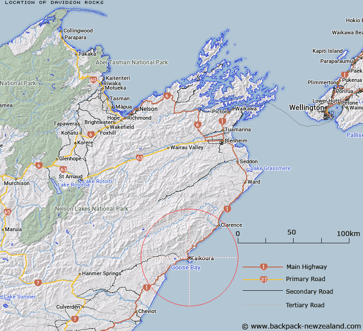
Map showing location of Davidson Rocks


LINZ description: A reef east of Kaikoura.
Latitude: -42.3988
Longitude: 173.697777
Northing: 5305708.1
Easting: 1657426.2
Land District: Marlborough
Feat Type: Reef


Scroll down to see a more detailed road map and below that a topographical map showing the location of Davidson Rocks. The road map has been supplied by openstreetmap and the topographical map of Davidson Rocks has been supplied by Land Information New Zealand (LINZ).

Yes you can use the top static map for you school/university project or personal website with a link back. Contact me for any commercial use.

Davidson Rocks Map New Zealand


New Zealand places in our database
[ A ] [ B ] [ C ] [ D ] [ E ] [ F ] [ G ] [ H ] [ I ] [ J ] [ K ] [ L ] [ M ] [ N ] [ O ] [ P ] [ Q ] [ R ] [ S ] [ T ] [ U ] [ V ] [ W ] [ X ] [ Y ] [ Z ]


Closest 20 Reefs to Davidson Rocks

Nine Pin Rock ( 1.2km )   Saint Kilda Rocks ( 2.05km )   Lynch Reef ( 3.47km )   Cone Rock ( 4.11km )   Bushett Rocks ( 39.64km )   Shepherdess Reef ( 88.12km )   Bowler Reef ( 90.63km )   Luke Rock ( 136.12km )   Hawes Rock ( 140.76km )   Thoms Rock ( 141.22km )   Toms Rock ( 141.22km )   Luna Rock ( 142.24km )   Hobart Rock ( 146.53km )   Arabella Rock ( 146.69km )   Luhrs Rock ( 147.52km )   Barrett Reef ( 150.55km )   Parson Rock ( 155.81km )   Stella Rock ( 156.09km )   Kamautaurua (Shag Reef) ( 157.62km )   Kamautaurua Island ( 157.62km )   Somes Rock ( 158.57km )   Hope Rock ( 159.72km )   Duffers Reef ( 163.33km )   Te Kawau a Toru ( 164.57km )   H?puku Reef ( 167.78km )   Pelorus Rock ( 169.23km )   McManaway Rock ( 170.01km )   Hinemoa Rocks ( 170.19km )   Bark Bay Reef ( 172.62km )   Witts Rock ( 177.63km )   Wright Rock ( 177.82km )   Catamaran Reef ( 179.39km )   Whakamoa Reef ( 179.54km )   Kapukapuariki Rocks ( 186.46km )   Gibsons Reef ( 196.84km )   Tokorakau Reef ( 197.54km )   Passage Rocks ( 197.59km )   Kairingaringa Reef ( 199.78km )   Stewart Rock ( 228.4km )   T?t?nekai Rock ( 355.23km )