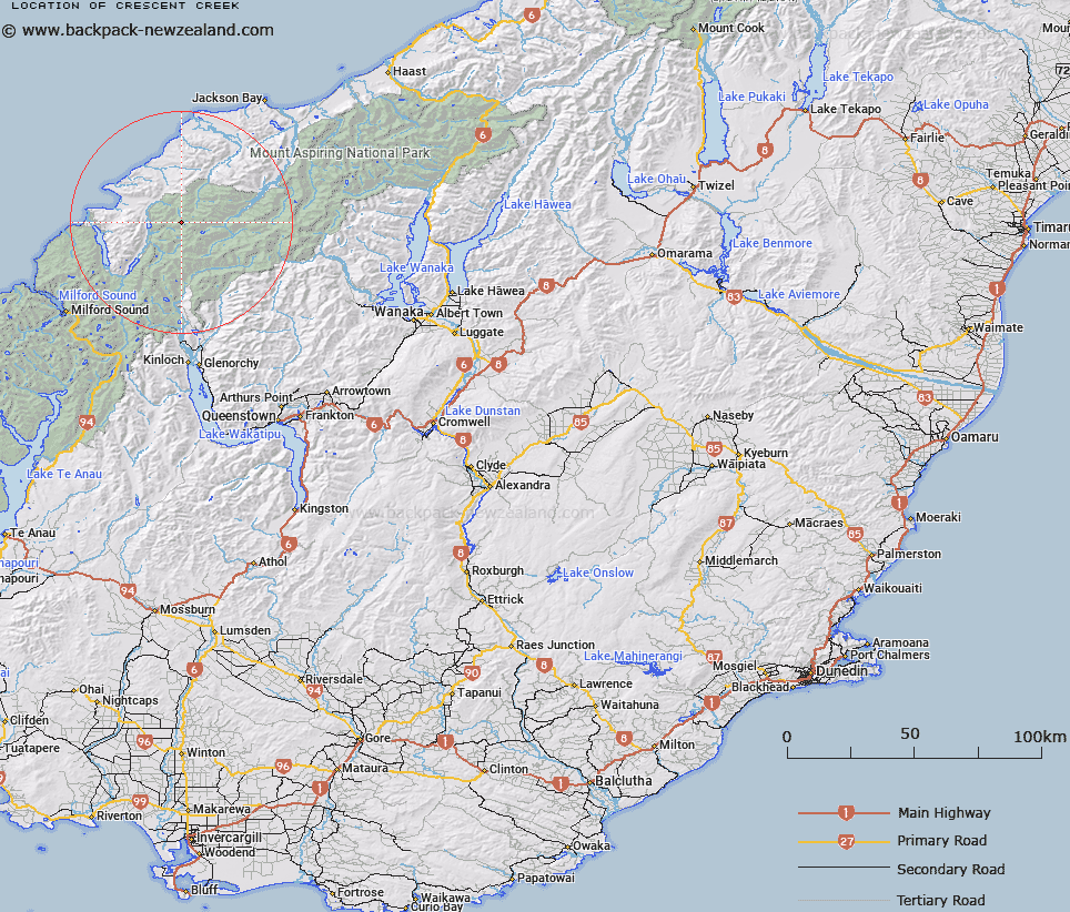
Map showing location of Crescent Creek


LINZ description: A branch of the Pyke arising from Crescent Lake
Latitude: -44.377203
Longitude: 168.326763
Northing: 5075600
Easting: 1227700
Land District: Otago
Feat Type: Stream


Scroll down to see a more detailed road map and below that a topographical map showing the location of Crescent Creek. The road map has been supplied by openstreetmap and the topographical map of Crescent Creek has been supplied by Land Information New Zealand (LINZ).

Yes you can use the top static map for you school/university project or personal website with a link back. Contact me for any commercial use.

Crescent Creek Map New Zealand


New Zealand places in our database
[ A ] [ B ] [ C ] [ D ] [ E ] [ F ] [ G ] [ H ] [ I ] [ J ] [ K ] [ L ] [ M ] [ N ] [ O ] [ P ] [ Q ] [ R ] [ S ] [ T ] [ U ] [ V ] [ W ] [ X ] [ Y ] [ Z ]


Closest 20 Streams to Crescent Creek

Trinity Stream ( 1.7km )   Rata Creek ( 2.21km )   Kea Creek ( 2.31km )   Steep Creek ( 2.46km )   Southern Cross Creek ( 2.66km )   Saddle Stream ( 2.85km )   Peanut Stream ( 2.86km )   Sealy Stream ( 2.94km )   Barrier River North Branch ( 3.11km )   Silver Stream ( 3.3km )   Red Stream ( 3.48km )   Simonin Stream ( 3.89km )   Barrier River South Branch ( 3.95km )   Limbo Stream ( 4.58km )   Larnachs Creek ( 6.43km )   Barrier River ( 6.62km )   Retreat Creek ( 6.72km )   Pass Creek ( 7.31km )   Holland Creek ( 8.23km )   Red Pyke River ( 8.24km )   Barrington Creek ( 8.26km )   Tornado Creek ( 8.27km )   Williamson River ( 8.48km )   Peridot Stream ( 8.6km )   Topsey Creek ( 8.96km )   Malcolm Creek ( 8.98km )   Diorite Stream ( 9.93km )   Chrome Creek ( 10.04km )   Ridge Creek ( 10.1km )   Blockade Stream ( 10.15km )   Wilmot River ( 10.68km )   Forgotten River ( 10.79km )   Durwards Creek ( 11.14km )   Milner Ice Stream ( 11.2km )   Arcade Creek ( 11.24km )   Halfway Creek ( 11.41km )   Paulin Creek ( 11.98km )   Granite Creek ( 12.86km )   Captains Creek ( 13.07km )   Joe River ( 13.18km )