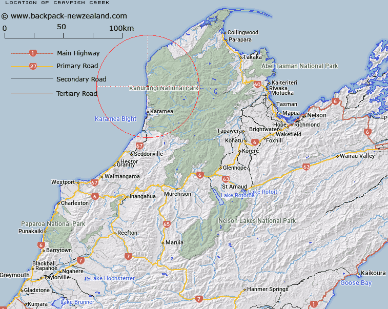
Map showing location of Crayfish Creek


LINZ description: Stream approx 4 km north of Kohaihai Bluff, meeting the sea at Crayfish Point.
Latitude: -41.059971
Longitude: 172.105476
Northing: 5454200.1
Easting: 1524837
Land District: Nelson
Feat Type: Stream


Scroll down to see a more detailed road map and below that a topographical map showing the location of Crayfish Creek. The road map has been supplied by openstreetmap and the topographical map of Crayfish Creek has been supplied by Land Information New Zealand (LINZ).

Yes you can use the top static map for you school/university project or personal website with a link back. Contact me for any commercial use.

Crayfish Creek Map New Zealand


New Zealand places in our database
[ A ] [ B ] [ C ] [ D ] [ E ] [ F ] [ G ] [ H ] [ I ] [ J ] [ K ] [ L ] [ M ] [ N ] [ O ] [ P ] [ Q ] [ R ] [ S ] [ T ] [ U ] [ V ] [ W ] [ X ] [ Y ] [ Z ]


Closest 20 Streams to Crayfish Creek

Swan Burn ( 2.36km )   Katip? Creek ( 2.4km )   K?haihai River ( 5.35km )   Wekakura Creek ( 5.72km )   Cold Creek ( 7.3km )   Coal Creek ( 8.01km )   Mossy Burn ( 8.02km )   Pitt Creek ( 8.02km )   Murray Creek ( 9.24km )   Stony Creek ( 9.28km )   Nenya Creek ( 9.83km )   Celeborn Creek ( 10.26km )   Candle Creek ( 10.47km )   Vilya Creek ( 10.84km )   Galadriel Creek ( 10.88km )   Break Creek ( 11.14km )   Nimrodel Creek ( 11.18km )   Gunner River ( 11.93km )   Break Creek Right Branch ( 11.97km )   Narya Creek ( 12.56km )   Oykel Creek ( 12.73km )   ?p?rara River ( 13.12km )   Campsaddle Creek ( 13.52km )   Orrin Creek ( 13.82km )   Blackwater Creek ( 13.96km )   Spider Creek ( 14.11km )   Rubble Creek ( 14.2km )   Ryan Creek ( 14.28km )   Harley Creek ( 14.68km )   Break Creek Left Branch ( 14.94km )   Fox Creek ( 14.96km )   Ugly River ( 15.81km )   Butterfly Creek ( 15.87km )   Castor Creek ( 15.99km )   Postal River ( 16.62km )   Torop?ihi Creek ( 16.93km )   Scorpion Creek ( 17.35km )   Cavern Creek ( 17.52km )   Lewis River ( 17.61km )   Bosun Creek ( 17.62km )