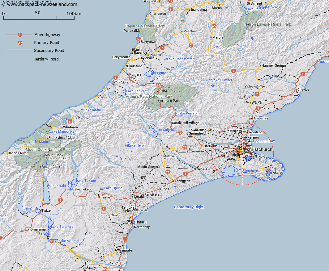
Map showing location of Cracroft


LINZ description: New suburb in Christchurch, between Cashmere and Westmoreland.
Latitude: -43.581809
Longitude: 172.612312
Northing: 5174500
Easting: 1568700
Land District: Canterbury
Feat Type: Suburb


Scroll down to see a more detailed road map and below that a topographical map showing the location of Cracroft. The road map has been supplied by openstreetmap and the topographical map of Cracroft has been supplied by Land Information New Zealand (LINZ).

Yes you can use the top static map for you school/university project or personal website with a link back. Contact me for any commercial use.

Cracroft Map New Zealand


New Zealand places in our database
[ A ] [ B ] [ C ] [ D ] [ E ] [ F ] [ G ] [ H ] [ I ] [ J ] [ K ] [ L ] [ M ] [ N ] [ O ] [ P ] [ Q ] [ R ] [ S ] [ T ] [ U ] [ V ] [ W ] [ X ] [ Y ] [ Z ]


Closest 20 Suburbs to Cracroft

Hoon Hay ( 1.49km )   Cashmere ( 1.76km )   Somerfield ( 2.72km )   Spreydon ( 2.99km )   Hillmorton ( 3.18km )   Halswell ( 3.37km )   Beckenham ( 3.39km )   Huntsbury ( 3.56km )   Sydenham ( 4.05km )   Oaklands ( 4.17km )   Saint Martins ( 4.21km )   Addington ( 4.31km )   Murray Aynsley ( 4.63km )   Waltham ( 4.67km )   Middleton ( 4.82km )   Hillsborough ( 5.08km )   Opawa ( 5.2km )   Riccarton ( 5.54km )   Woolston ( 5.75km )   Phillipstown ( 6.02km )   Linwood ( 6.31km )   Upper Riccarton ( 6.7km )   Fendalton ( 7.12km )   Sockburn ( 7.26km )   Ilam ( 7.43km )   Hornby ( 7.48km )   Merivale ( 7.73km )   St Albans ( 7.85km )   Heathcote Valley ( 7.86km )   North Linwood ( 7.91km )   Avonside ( 7.93km )   Saint Albans ( 7.96km )   Bromley ( 7.98km )   Richmond ( 8.02km )   Mount Pleasant ( 8.69km )   Avonhead ( 8.74km )   St Andrews Hill ( 8.78km )   Broomfield ( 8.89km )   Russley ( 8.93km )   Hei Hei ( 9.13km )