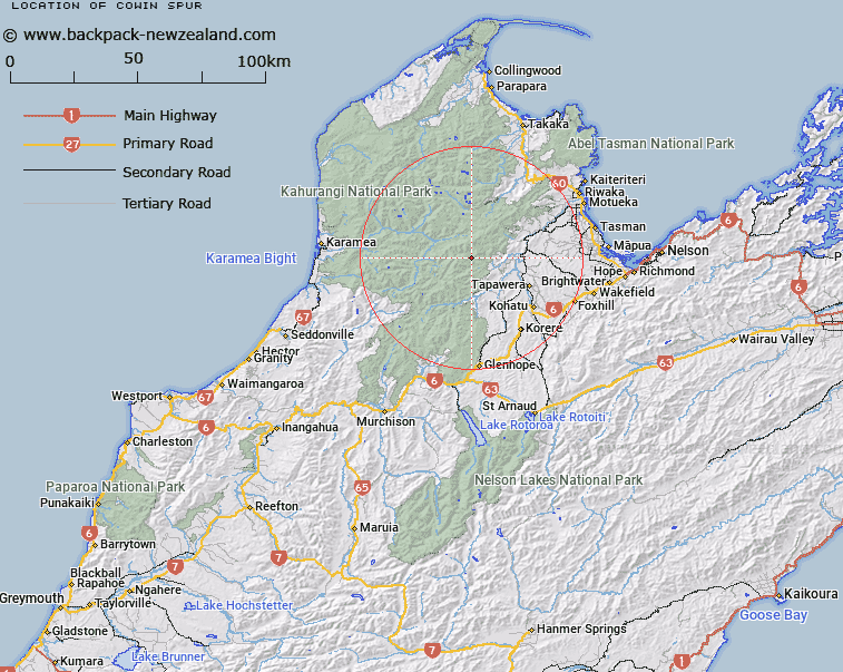
Map showing location of Cowin Spur


LINZ description: Spur running East South-east from the Arthur Range, 5km North of Mount Star, between Moran Creek/ Skeet River and Baton River. Blocks I and II Wangapeka Survey District.
Latitude: -41.293243
Longitude: 172.624464
Northing: 5428621.4
Easting: 1568557.2
Land District: Nelson
Feat Type: Ridge


Scroll down to see a more detailed road map and below that a topographical map showing the location of Cowin Spur. The road map has been supplied by openstreetmap and the topographical map of Cowin Spur has been supplied by Land Information New Zealand (LINZ).

Yes you can use the top static map for you school/university project or personal website with a link back. Contact me for any commercial use.

Cowin Spur Map New Zealand


New Zealand places in our database
[ A ] [ B ] [ C ] [ D ] [ E ] [ F ] [ G ] [ H ] [ I ] [ J ] [ K ] [ L ] [ M ] [ N ] [ O ] [ P ] [ Q ] [ R ] [ S ] [ T ] [ U ] [ V ] [ W ] [ X ] [ Y ] [ Z ]


Closest 20 Ridges to Cowin Spur

Paddy Ridge ( 4.69km )   Pearse Ridge ( 10.05km )   Jones Ridge ( 11.84km )   Starvation Ridge ( 12.65km )   Luna Ridge ( 15.44km )   K?k?p? Spur ( 16.76km )   Kimbell Spur ( 20.04km )   Kendall Ridge ( 21.25km )   Grange Ridge ( 24.93km )   Garibaldi Ridge ( 25.51km )   False Peak ( 27.1km )   Kiwi Ridge ( 32.73km )   Stormy Ridge ( 33.21km )   Mount Stormy Range ( 33.21km )   Grindley Ridge ( 33.51km )   Bald Knob Ridge ( 35.39km )   Johnson Ridge ( 36.84km )   Mount Gorgeous Range ( 36.84km )   Webb Ridge ( 39.5km )   Colosseum Ridge ( 42.53km )   Hardy Ridge ( 44.19km )   Gibbs Spur ( 46.94km )   Brown Cow Ridge ( 47.67km )   Walker Ridge ( 48.52km )   Harris Ridge ( 49.02km )   Evans Ridge ( 50.4km )   Kill Devil Spur ( 50.82km )   Queen Ridge ( 51km )   Blue Cliffs Ridge ( 51.07km )   The Castles ( 51.64km )   Porter Ridge ( 52.01km )   Bellbird Ridge ( 52.24km )   Parapara Ridge ( 53.5km )   Newton Ridge ( 54.48km )   Red Hills Ridge ( 55.07km )   Bullock Spur ( 56.59km )   Cummins Spur ( 56.87km )   Saxon Ridge ( 59.76km )   Wells Ridge ( 60.83km )   Boars Back Spur ( 61.87km )