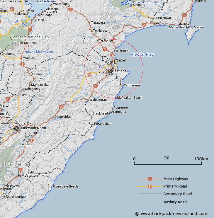
Map showing location of Clive River


LINZ description: The part of river which flows from the Pakowhai Road Bridge over the old bed of the Ngaruroro River to the sea
Latitude: -39.60146
Longitude: 176.88699
Northing: 5609252.5
Easting: 1933761.6
Land District: Hawke's Bay
Feat Type: Stream


Scroll down to see a more detailed road map and below that a topographical map showing the location of Clive River. The road map has been supplied by openstreetmap and the topographical map of Clive River has been supplied by Land Information New Zealand (LINZ).

Yes you can use the top static map for you school/university project or personal website with a link back. Contact me for any commercial use.

Clive River Map New Zealand


New Zealand places in our database
[ A ] [ B ] [ C ] [ D ] [ E ] [ F ] [ G ] [ H ] [ I ] [ J ] [ K ] [ L ] [ M ] [ N ] [ O ] [ P ] [ Q ] [ R ] [ S ] [ T ] [ U ] [ V ] [ W ] [ X ] [ Y ] [ Z ]


Closest 20 Streams to Clive River

Raupare Stream ( 2.24km )   Muddy Creek ( 2.41km )   Ruahapia Stream ( 2.84km )   Tutaekuri River ( 3.64km )   Tutaekuri - Waimate Stream ( 4.82km )   Karamu Stream ( 5.21km )   Awahou Stream ( 5.25km )   Waitangi Stream ( 5.61km )   Karituwhenua Stream ( 7.07km )   Southland Drain ( 7.67km )   Tannery Stream ( 7.85km )   Purimu Stream ( 8.31km )   Tekahika Stream ( 8.86km )   Serpentine ( 9.13km )   Irongate Stream ( 9.57km )   Upokohino Stream ( 9.66km )   Paherumanihi Stream ( 9.75km )   Herehere Stream ( 9.87km )   Taipo Stream ( 10.23km )   Mangarau Stream ( 10.3km )   Saltwater Creek ( 10.53km )   Louisa Stream ( 10.54km )   Awanui Stream ( 10.88km )   Repokai te Rotorua Stream ( 12.05km )   Karewarewa Stream ( 12.44km )   Poukawa Stream ( 13.7km )   Main Outfall Channel ( 14.33km )   Horseshoe Bend ( 14.5km )   Ohiwa Stream ( 14.83km )   Hurimoana Stream ( 16.18km )   Ototara Stream ( 16.26km )   Waikaha Stream ( 16.53km )   Tunatahi Stream ( 16.56km )   Tunaatera Stream ( 16.63km )   Mangaatematau Stream ( 17.11km )   Paritua Stream ( 17.26km )   Waikoukou Stream ( 17.47km )   Awangarara Stream ( 17.6km )   Ngaruroro River ( 17.91km )   Mangangarara Stream ( 18.24km )