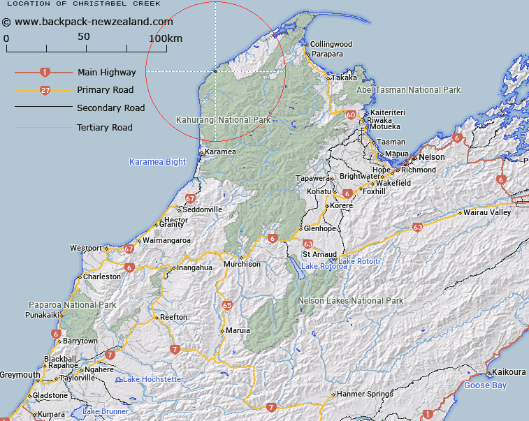
Map showing location of Christabel Creek


LINZ description: Stream flowing into Tasman Sea south of Otukoroiti Point. Kahurangi Survey District.
Latitude: -40.816627
Longitude: 172.181096
Northing: 5481276.2
Easting: 1530938.1
Land District: Nelson
Feat Type: Stream


Scroll down to see a more detailed road map and below that a topographical map showing the location of Christabel Creek. The road map has been supplied by openstreetmap and the topographical map of Christabel Creek has been supplied by Land Information New Zealand (LINZ).

Yes you can use the top static map for you school/university project or personal website with a link back. Contact me for any commercial use.

Christabel Creek Map New Zealand


New Zealand places in our database
[ A ] [ B ] [ C ] [ D ] [ E ] [ F ] [ G ] [ H ] [ I ] [ J ] [ K ] [ L ] [ M ] [ N ] [ O ] [ P ] [ Q ] [ R ] [ S ] [ T ] [ U ] [ V ] [ W ] [ X ] [ Y ] [ Z ]


Closest 20 Streams to Christabel Creek

Moutere River ( 1.86km )   Awah?honu Creek ( 3.62km )   Kahurangi River ( 4.61km )   Cannington Creek ( 5.41km )   Camp Creek ( 5.48km )   Lagoon Creek ( 5.86km )   Juno Creek ( 6.11km )   Big River ( 6.48km )   Alva Creek ( 6.86km )   Slip Stream ( 7.16km )   Saxon River ( 7.46km )   Pig Creek ( 7.5km )   Vesta Creek ( 7.63km )   Pallas Stream ( 7.67km )   Horrible Creek ( 7.83km )   Ceres Creek ( 8.58km )   Monument Creek ( 9.02km )   Blue Shirt Creek ( 9.3km )   Deception Creek ( 9.33km )   Raukawa Stream ( 10.06km )   Lewis River ( 10.26km )   Bluffy Creek ( 10.68km )   Enid Stream ( 11.23km )   Cadigan Creek ( 11.28km )   Anaweka River ( 11.55km )   Torop?ihi Creek ( 11.7km )   Toucan Stream ( 11.91km )   Blue Duck Creek ( 12.52km )   Fox Creek ( 12.84km )   Jackson Stream ( 13.5km )   Landing Creek ( 13.66km )   Heaphy River ( 13.72km )   Blackwater Creek ( 13.93km )   Weka Creek ( 14.64km )   Ryan Creek ( 14.73km )   Turimawiwi River ( 14.77km )   Pukatea Stream ( 14.87km )   Gouland Creek ( 15.97km )   Lilian Creek ( 16.12km )   Gunner River ( 16.29km )