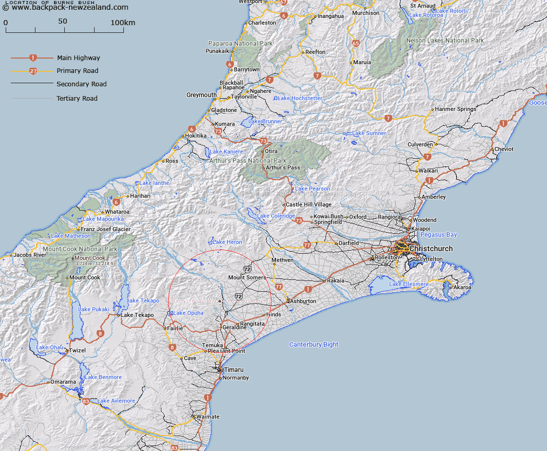
Map showing location of Burns Bush


LINZ description: An area in Peel Forest Park, immediately East of Blandswood locality. Blocks I and III Orari Survey District. Feature shown on: NZTopo50-BY19 585378
Latitude: -43.899638
Longitude: 171.239627
Northing: 5137767.9
Easting: 1458625
Land District: Canterbury
Feat Type: Bush


Scroll down to see a more detailed road map and below that a topographical map showing the location of Burns Bush. The road map has been supplied by openstreetmap and the topographical map of Burns Bush has been supplied by Land Information New Zealand (LINZ).

Yes you can use the top static map for you school/university project or personal website with a link back. Contact me for any commercial use.

Burns Bush Map New Zealand


New Zealand places in our database
[ A ] [ B ] [ C ] [ D ] [ E ] [ F ] [ G ] [ H ] [ I ] [ J ] [ K ] [ L ] [ M ] [ N ] [ O ] [ P ] [ Q ] [ R ] [ S ] [ T ] [ U ] [ V ] [ W ] [ X ] [ Y ] [ Z ]


Closest 20 Bushs to Burns Bush

Dennistoun Bush ( 0.78km )   Mills Bush ( 1.6km )   Darkey Jims Bush ( 65.46km )   Thirteen Mile Bush ( 70.89km )   Hook Bush ( 85.74km )   Gunns Bush ( 87.92km )   Kelceys Bush ( 91.21km )   Governors Bush ( 94.08km )   Darts Bush ( 108.48km )   Prendergasts Bush ( 113.5km )   Omahu Bush ( 113.5km )   Teawapuhe Bush ( 115.46km )   Pigeon Bush ( 124.71km )   Firewood Bush ( 138.4km )   Green Island Bush ( 144.84km )   Little Green Bush ( 145.18km )   Kidds Bush ( 168.23km )   Gills Bush ( 168.71km )   Home Bush ( 169.9km )   Cox Bush ( 190.45km )   Glencoe Bush ( 210.98km )   Settlers Bush ( 212.76km )   Wandle Bush ( 214.05km )   Big Bush ( 219.03km )   Garretts Bush ( 232.96km )   T?tara Bush ( 235.37km )   Cockburns Bush ( 241.84km )   Mcewens Bush ( 251.47km )   Waikai? Bush ( 252.24km )   Twelve Mile Bush ( 253.42km )   Dog Bush ( 261.93km )   Leithen Bush ( 270.44km )   Peters Bush ( 273.2km )   Shirkers Bush ( 281.03km )   Quinney Bush ( 300.59km )   Croydon Bush ( 304.12km )   Burwood Bush ( 308.22km )   Faulkners Bush ( 313.65km )   Baigents Bush ( 313.95km )   Max's Bush ( 318.96km )