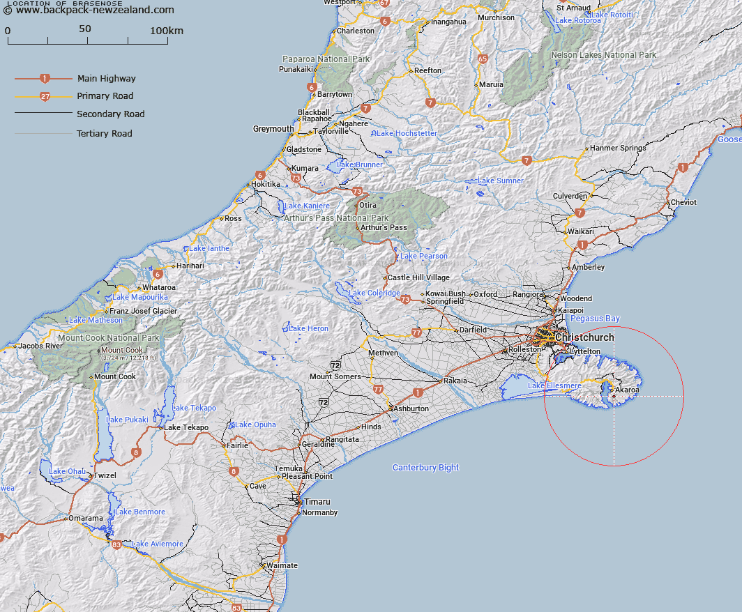
Map showing location of Brasenose


LINZ description: Peak (height 785 metres) on the east side of Akaroa Harbour, lying south-east of the Onuku Native Reserve.
Latitude: -43.83641
Longitude: 172.978084
Northing: 5146296.2
Easting: 1598238.1
Land District: Canterbury
Feat Type: Hill


Scroll down to see a more detailed road map and below that a topographical map showing the location of Brasenose. The road map has been supplied by openstreetmap and the topographical map of Brasenose has been supplied by Land Information New Zealand (LINZ).

Yes you can use the top static map for you school/university project or personal website with a link back. Contact me for any commercial use.

Brasenose Map New Zealand


New Zealand places in our database
[ A ] [ B ] [ C ] [ D ] [ E ] [ F ] [ G ] [ H ] [ I ] [ J ] [ K ] [ L ] [ M ] [ N ] [ O ] [ P ] [ Q ] [ R ] [ S ] [ T ] [ U ] [ V ] [ W ] [ X ] [ Y ] [ Z ]


Closest 20 Hills to Brasenose

Flag Peak ( 0.83km )   Berard ( 1.15km )   Aylmers Hill ( 2.3km )   Kaik Hill ( 2.5km )   Stony Bay Peak ( 3.07km )   Benoit ( 4.45km )   Takamatua Hill ( 5.23km )   North Head ( 5.47km )   Lucas Peak ( 6.71km )   Bossu ( 7.46km )   Rocky Peak ( 8.23km )   Carews Peak ( 9.03km )   Saddle Hill ( 10.21km )   Okains Peak ( 10.37km )   Lavericks ( 10.45km )   French Hill ( 11.87km )   Devils Gap ( 12.56km )   Duvauchelle Peak ( 12.99km )   Le Bons Peak ( 13.32km )   Pigeon Bay Peak ( 14.3km )   Pearce ( 14.48km )   West Peak ( 14.81km )   View Hill ( 15.31km )   Te Oka ( 16.03km )   Mount Sinclair ( 16.34km )   Mount Fitzgerald ( 18.35km )   Haytor ( 18.57km )   Graeme ( 19.2km )   High Bare Peak ( 19.59km )   Wild Cattle Hill ( 20.8km )   Holmes ( 21.44km )   Zig Zag ( 21.61km )   The Monument ( 24.2km )   Mount Herbert/Te Ahu Patiki ( 25.06km )   Herbert Peak ( 25.06km )   Mount Herbert ( 25.06km )   Mount Evans ( 26.57km )   Mount Bradley ( 26.65km )   Windsor Castle ( 34.11km )   Tauhinukorokio ( 34.11km )