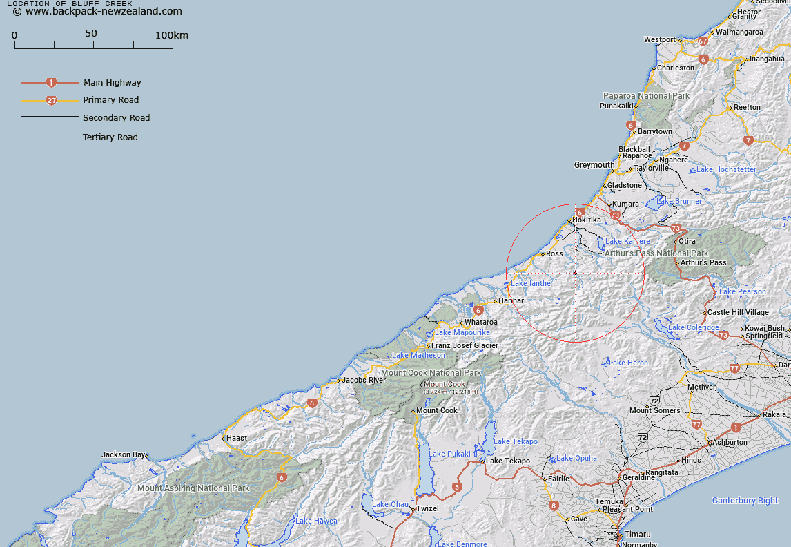
Map showing location of Bluff Creek


LINZ description: Feature shown on: NZMS260 J34 Edition 1 1992 Limited Revision 1996
Latitude: -42.995389
Longitude: 170.999083
Northing: 5237754.7
Easting: 1436894
Land District: Westland
Feat Type: Stream


Scroll down to see a more detailed road map and below that a topographical map showing the location of Bluff Creek. The road map has been supplied by openstreetmap and the topographical map of Bluff Creek has been supplied by Land Information New Zealand (LINZ).

Yes you can use the top static map for you school/university project or personal website with a link back. Contact me for any commercial use.
Bluff Creek Map New Zealand


New Zealand places in our database
[ A ] [ B ] [ C ] [ D ] [ E ] [ F ] [ G ] [ H ] [ I ] [ J ] [ K ] [ L ] [ M ] [ N ] [ O ] [ P ] [ Q ] [ R ] [ S ] [ T ] [ U ] [ V ] [ W ] [ X ] [ Y ] [ Z ]


Closest 20 Streams to Bluff Creek

Collier Creek ( 0.61km )   Boojum Creek ( 1.37km )   Snark Creek ( 1.49km )   Harrop Creek ( 1.59km )   New Year Creek ( 1.96km )   Sunbeam Creek ( 1.98km )   Minnow Creek ( 2.64km )   Illusion Creek ( 3.01km )   Moose Creek ( 3.21km )   Vanina Stream ( 3.44km )   Rapid Creek ( 3.74km )   Whitehorn Creek ( 3.94km )   Surveyors Creek ( 3.98km )   Granite Creek ( 4.01km )   Epoch Creek ( 4.09km )   Solitude Creek ( 4.48km )   Bramhall Creek ( 4.63km )   Scamper Creek ( 4.89km )   Colonial Stream ( 5.08km )   Muriel Creek ( 5.17km )   Lyes Creek ( 5.39km )   Diedrichs Creek ( 5.4km )   Diedrich Creek ( 5.4km )   Harry Creek ( 5.45km )   Jumping Creek ( 5.57km )   Explorer Creek ( 5.66km )   Random Brook ( 5.94km )   Doctor Creek ( 5.94km )   Gneiss Creek ( 6.02km )   Serpentine Creek ( 6.09km )   Murmur Stream ( 6.12km )   Dick Creek ( 6.29km )   Shadow Stream ( 6.31km )   Brow Creek ( 6.32km )   Humbug Creek ( 6.43km )   Open Creek ( 6.51km )   Caput Creek ( 6.56km )   Kaka Creek ( 6.58km )   Grimmond Creek ( 6.58km )   Tom Creek ( 6.96km )