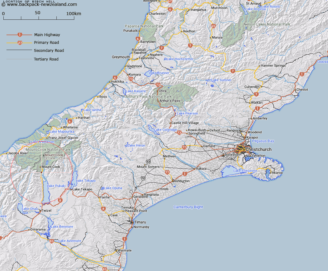
Map showing location of Birch Hill
LINZ description: Proposed New village site at southern entrance to Mount Cook National Park, approximately 7km South of the Hermitage, on the Right Bank of the Tasman River.
Latitude: -43.798188
Longitude: 170.113056
Northing: 5146490.2
Easting: 1367754.5
Land District: Canterbury
Feat Type: Locality
Latitude: -43.798188
Longitude: 170.113056
Northing: 5146490.2
Easting: 1367754.5
Land District: Canterbury
Feat Type: Locality

Scroll down to see a more detailed road map and below that a topographical map showing the location of Birch Hill. The road map has been supplied by openstreetmap and the topographical map of Birch Hill has been supplied by Land Information New Zealand (LINZ).
Yes you can use the top static map for you school/university project or personal website with a link back. Contact me for any commercial use.
[ A ] [ B ] [ C ] [ D ] [ E ] [ F ] [ G ] [ H ] [ I ] [ J ] [ K ] [ L ] [ M ] [ N ] [ O ] [ P ] [ Q ] [ R ] [ S ] [ T ] [ U ] [ V ] [ W ] [ X ] [ Y ] [ Z ]