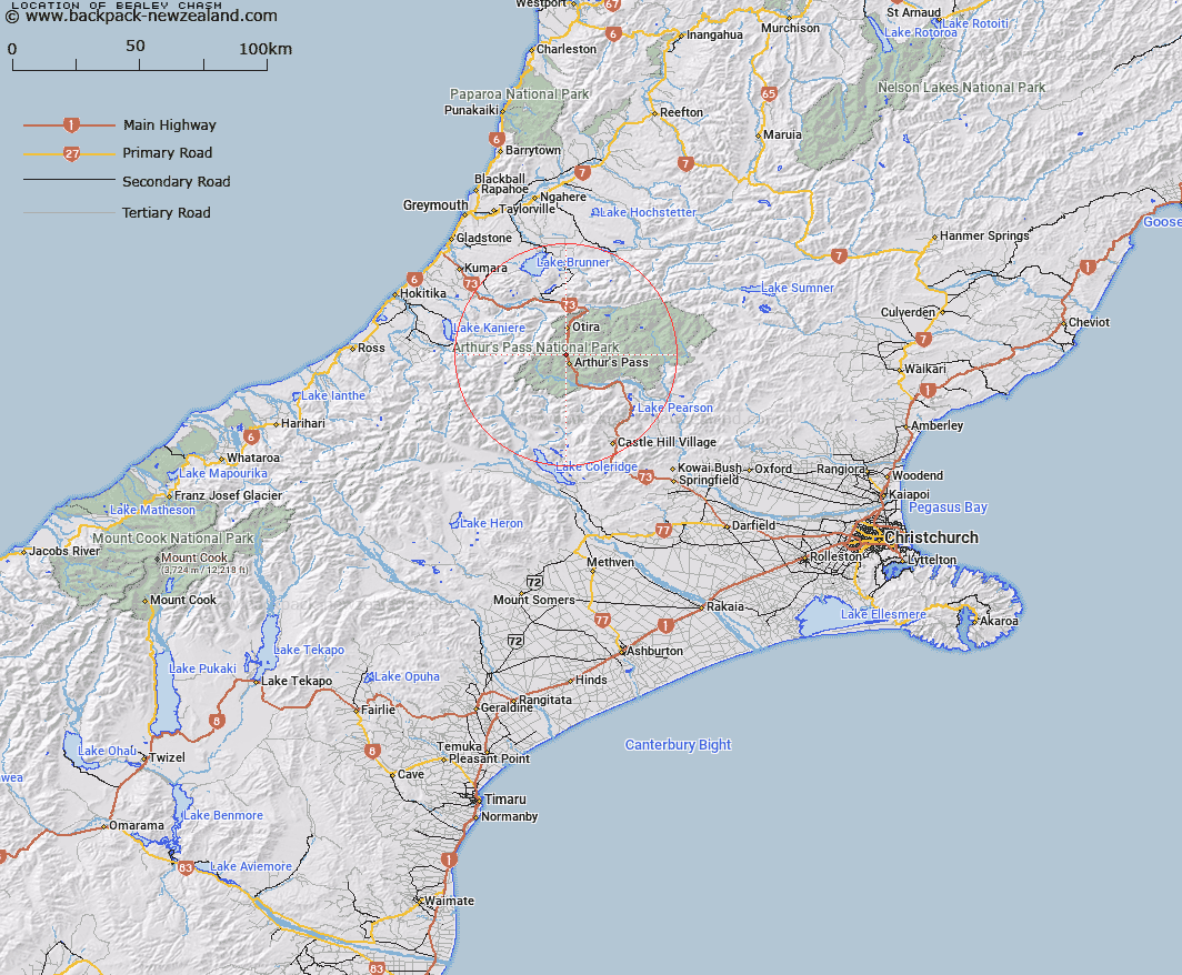
Map showing location of Bealey Chasm
LINZ description: The Upper Bealey Valley Track passes over this small chasm, 10 minutes walk from Jacks Hut on Arthurs Pass.
Latitude: -42.914753
Longitude: 171.555774
Northing: 5247640
Easting: 1482120
Land District: Canterbury
Feat Type: Chasm
Latitude: -42.914753
Longitude: 171.555774
Northing: 5247640
Easting: 1482120
Land District: Canterbury
Feat Type: Chasm

Scroll down to see a more detailed road map and below that a topographical map showing the location of Bealey Chasm. The road map has been supplied by openstreetmap and the topographical map of Bealey Chasm has been supplied by Land Information New Zealand (LINZ).
Yes you can use the top static map for you school/university project or personal website with a link back. Contact me for any commercial use.
[ A ] [ B ] [ C ] [ D ] [ E ] [ F ] [ G ] [ H ] [ I ] [ J ] [ K ] [ L ] [ M ] [ N ] [ O ] [ P ] [ Q ] [ R ] [ S ] [ T ] [ U ] [ V ] [ W ] [ X ] [ Y ] [ Z ]