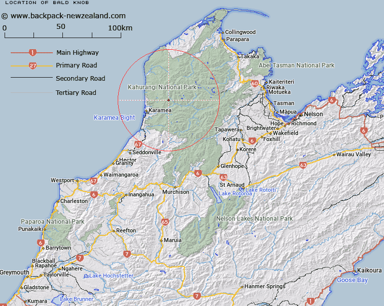
Map showing location of Bald Knob


LINZ description: Hill at the junction of ridge between Bovis Creek, Postal River, and Fenian Range, on the Fenian Range. Oparara Survey District.
Latitude: -41.167037
Longitude: 172.274681
Northing: 5442446.4
Easting: 1539153.6
Land District: Nelson
Feat Type: Hill


Scroll down to see a more detailed road map and below that a topographical map showing the location of Bald Knob. The road map has been supplied by openstreetmap and the topographical map of Bald Knob has been supplied by Land Information New Zealand (LINZ).

Yes you can use the top static map for you school/university project or personal website with a link back. Contact me for any commercial use.

Bald Knob Map New Zealand


New Zealand places in our database
[ A ] [ B ] [ C ] [ D ] [ E ] [ F ] [ G ] [ H ] [ I ] [ J ] [ K ] [ L ] [ M ] [ N ] [ O ] [ P ] [ Q ] [ R ] [ S ] [ T ] [ U ] [ V ] [ W ] [ X ] [ Y ] [ Z ]


Closest 20 Hills to Bald Knob

Fenian ( 7.8km )   Mount Garibaldi ( 8.68km )   Elfin Bluff ( 11.59km )   Pyramid ( 11.96km )   Mount Domett ( 11.99km )   Centre Mountain ( 13.09km )   The Haystack ( 13.15km )   Stormy ( 13.41km )   Avery ( 13.64km )   M?ori Point ( 16.77km )   Sandy Peak ( 16.81km )   Amohia Peak ( 16.82km )   Black Rat ( 17.33km )   Mount Barr ( 18.28km )   Mount Scarlett ( 19.71km )   Mount Ross ( 20.28km )   Mount Lester ( 22.04km )   Mount Cobb ( 22.06km )   Mount Ranolf ( 22.11km )   Mount Prospect ( 22.76km )   Anaconda ( 22.93km )   Mount Gibbs ( 23.01km )   Mount Brilliant ( 23.08km )   Xenicus Peak ( 23.58km )   Mount Kendall ( 24.19km )   Aorere Peak ( 24.23km )   Mount Radiant ( 24.65km )   Mount Olive ( 24.84km )   Mount Zetland ( 25.22km )   Mount Gouland ( 25.94km )   Mount Mytton ( 25.97km )   Waingaro Peak ( 26.08km )   Burnt Hill ( 26.08km )   Mount Meyrick ( 26.36km )   Mount Johnson ( 26.57km )   Mount Inaccessible ( 26.59km )   Mount Fugel ( 26.72km )   Mount Peel ( 26.72km )   Mount Benson ( 27.07km )   Mount Dean ( 27.22km )