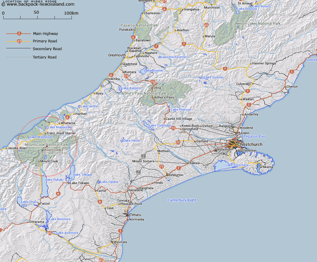
Map showing location of Ayres Ridge
LINZ description: Significant alpine feature, elevation over 3,000m, extending from a snow col north-east of and below Mount Haidinger and rising northerly for approximately 1km to the summit of Douglas Peak, on the main divide, at the head of Albert Glacier, which flows north-west into Fox Glacier / Te Moeka o Tuawe. NZTopo50 BX16-Mount Elie De Beaumont, from NZTM 1374060E, 5174350N to NZTM 1373980E, 5175240N.
Latitude: -43.547004
Longitude: 170.203516
Northing: 5174638.6
Easting: 1374090.9
Land District: Canterbury
Feat Type: Ridge
Latitude: -43.547004
Longitude: 170.203516
Northing: 5174638.6
Easting: 1374090.9
Land District: Canterbury
Feat Type: Ridge

Scroll down to see a more detailed road map and below that a topographical map showing the location of Ayres Ridge. The road map has been supplied by openstreetmap and the topographical map of Ayres Ridge has been supplied by Land Information New Zealand (LINZ).
Yes you can use the top static map for you school/university project or personal website with a link back. Contact me for any commercial use.
[ A ] [ B ] [ C ] [ D ] [ E ] [ F ] [ G ] [ H ] [ I ] [ J ] [ K ] [ L ] [ M ] [ N ] [ O ] [ P ] [ Q ] [ R ] [ S ] [ T ] [ U ] [ V ] [ W ] [ X ] [ Y ] [ Z ]