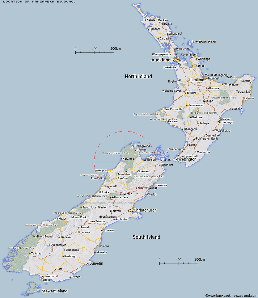
Topo Map showing location of Wangapeka Bivouac
This information is sourced from DoC, LINZ and Openstreetmap. Some of the hut photos are mine and the rest are from DoC. I will be adding an upload feature soon so people can photos of .Wangapeka Bivouac.
Latitude: -41.3797906411
Longitude: 172.276918849
Location:
Type of Hut:
Map: Topo Map | Road Map
Does this hut still exist? Have any more information? Contact
Latitude: -41.3797906411
Longitude: 172.276918849
Location:
Type of Hut:
Map: Topo Map | Road Map
Does this hut still exist? Have any more information? Contact
Scroll down to see a topographical map and road map showing the location of Wangapeka Bivouac
[ A ] [ B ] [ C ] [ D ] [ E ] [ F ] [ G ] [ H ] [ I ] [ J ] [ K ] [ L ] [ M ] [ N ] [ O ] [ P ] [ Q ] [ R ] [ S ] [ T ] [ U ] [ V ] [ W ] [ Y ] [ Z ]
Closest 20 Huts to Wangapeka Bivouac
These are as the crow fliesWangapeka Bivouac 0km Stag Flat Shelter 2.42km Taipo Hut 3.67km Belltown Manunui Hut 4.72km Kākāpō Hut 5.71km Helicopter Flat Hut 8.09km Trevor Carter Hut 9.67km Johnson Hut 9.74km Thor Hut 13.75km Stone Hut 14.29km Venus Hut 15.27km Greys Hut 15.64km Hurricane Hut 16.64km Kiwi Saddle Hut 18.41km Crow Hut 18.67km Cecil Kings Hut 19.47km Kings Creek Hut 19.52km Larrikin Creek Hut 20.29km Mokihinui Forks Hut 20.44km Adams Flat Hut 20.97km Specimen Point Hut 21.08km John Reid Hut 22.88km Sunshine Flat Shelter 23.92km Roaring Lion Hut 24.09km McConchies Hut 24.22km Branch Creek Hut 25.24km Karamea Bend Hut 25.46km Goat Creek Hut 25.97km Poor Pete's Hut 26.32km Granity Pass Hut 28.54km Flanagans Hut 28.86km Lake Matiri Hut 31.03km Stern Valley Hut 32.23km Kohaihai Shelter 33.43km Splugeons Rock Shelter 33.83km Ghost Lake Hut 36.94km Balloon Hut 37.18km Ellis Hut 37.62km Dry Rock Shelter 39.12km Trilobite Hut 39.26km