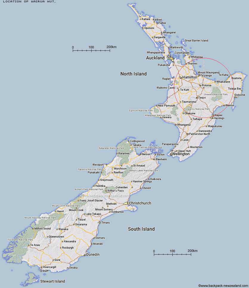
Topo Map showing location of Wairua Hut
This information is sourced from DoC, LINZ and Openstreetmap. Some of the hut photos are mine and the rest are from DoC. I will be adding an upload feature soon so people can photos of .Wairua Hut.
Latitude: -38.2397462716
Longitude: 176.423385291
Location:
Type of Hut:
Map: Topo Map | Road Map
Does this hut still exist? Have any more information? Contact
Latitude: -38.2397462716
Longitude: 176.423385291
Location:
Type of Hut:
Map: Topo Map | Road Map
Does this hut still exist? Have any more information? Contact
Scroll down to see a topographical map and road map showing the location of Wairua Hut
[ A ] [ B ] [ C ] [ D ] [ E ] [ F ] [ G ] [ H ] [ I ] [ J ] [ K ] [ L ] [ M ] [ N ] [ O ] [ P ] [ Q ] [ R ] [ S ] [ T ] [ U ] [ V ] [ W ] [ Y ] [ Z ]
Closest 20 Huts to Wairua Hut
These are as the crow fliesHoromanga Base Camp 40.03km Mangamako Hut 40.26km Waihua Hut 40.81km Duckville Hut 42.03km Casino Hut 43.17km Okui Hut 45.04km Saddle (Mangaawai) Hut 45.27km Twain (Waipotiki) Hut 46.01km Manaohou Right Branch Hut 47.23km Apiti Hut 47.51km Mangapouri Hut 48.52km Hanamahihi Hut 51.28km Ohora Hut 52.56km Waikare Junction Hut 53.29km Wharekahika Hut 53.4km Ngahiramai Hut 55.9km Ohane Hut 56.11km Onepu Hut 56.75km Takurua Hut 57.49km Tawhiwhi Hut 57.91km Vern's Camp Shelter 58.1km Otanetea Hut 61.61km Mangamate Hut 61.86km Moerangi Hut 62.25km Central Whirinaki Hut 62.33km Skips Hut (Whangatawhia) 62.72km Te Pourewa Hut 63.07km Te Panaa Hut 63.89km Hurunui Hut 63.91km Waiawa Hut 65.31km Rogers Hut (Te Wairoa) 65.34km Otapukawa Hut 65.54km Taurawharona Hut 65.72km Kanohirua Hut 66.04km Koaunui Hut 66.99km Te Pua Hut 67.04km Te Totara Hut 67.26km Upper Whirinaki Hut 67.29km Ngamuwahine Shelter 68km Mangamuka Hut 68.27km