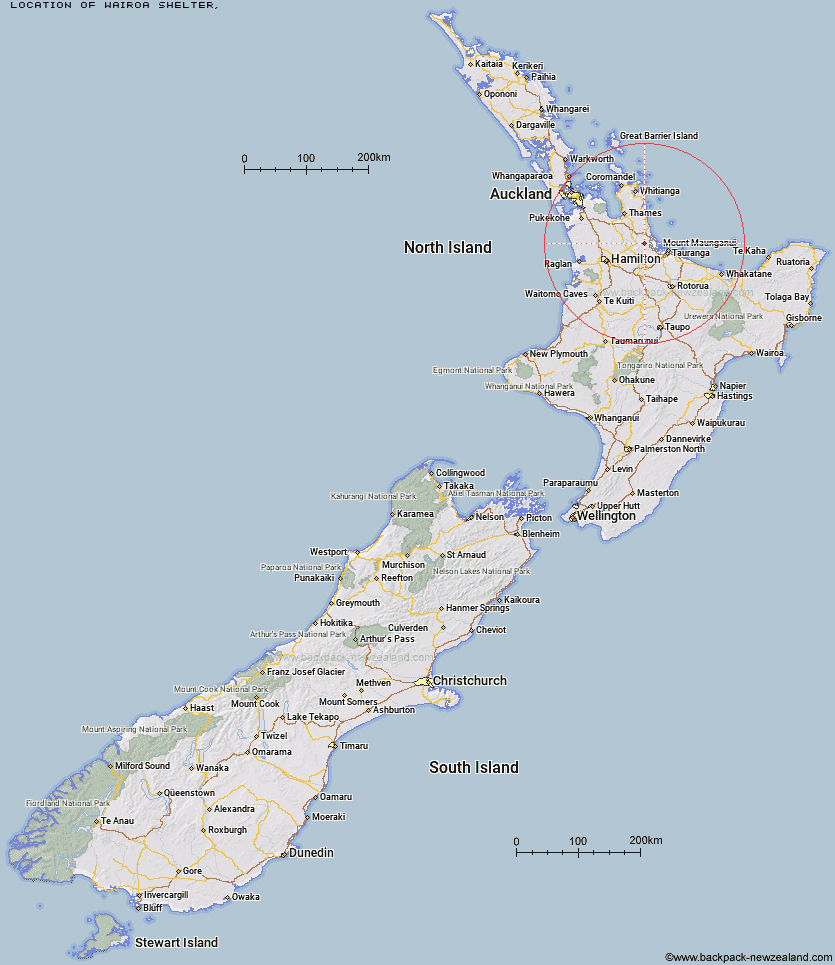
Topo Map showing location of Wairoa Shelter
This information is sourced from DoC, LINZ and Openstreetmap. Some of the hut photos are mine and the rest are from DoC. I will be adding an upload feature soon so people can photos of .Wairoa Shelter.
Latitude: -37.5444609552
Longitude: 175.842331813
Location:
Type of Hut:
Map: Topo Map | Road Map
Does this hut still exist? Have any more information? Contact
Latitude: -37.5444609552
Longitude: 175.842331813
Location:
Type of Hut:
Map: Topo Map | Road Map
Does this hut still exist? Have any more information? Contact
Scroll down to see a topographical map and road map showing the location of Wairoa Shelter
[ A ] [ B ] [ C ] [ D ] [ E ] [ F ] [ G ] [ H ] [ I ] [ J ] [ K ] [ L ] [ M ] [ N ] [ O ] [ P ] [ Q ] [ R ] [ S ] [ T ] [ U ] [ V ] [ W ] [ Y ] [ Z ]
Closest 20 Huts to Wairoa Shelter
These are as the crow fliesWairoa Shelter 0km Waitawheta Hut 3.77km Te Rereatukahia Hut 4.74km Motutapere Hut 8.63km Mangakino Shelter 8.79km Daly's Clearing Hut 9.67km Kauritatahi Hut 13.51km Ngamuwahine Shelter 26.67km Mangamuka Hut 27.49km Hurunui Hut 31.29km Pinnacles Hut 57.03km Crosbies Hut 59.37km Piggotts Hut 78.53km Pahautea Hut 82.72km Wairua Hut 92.61km Wildlife Hut 98.7km Hamilton Tomo Group Hut 102.78km Bog Inn Hut 117km Waihua Hut 122.73km Mangamako Hut 124.53km Twain (Waipotiki) Hut 124.83km Saddle (Mangaawai) Hut 125.96km Casino Hut 126.78km Apiti Hut 128.1km Duckville Hut 128.59km Horomanga Base Camp 129.33km Waihaha Hut 129.67km Wharekahika Hut 130.72km Ohora Hut 134km Manaohou Right Branch Hut 134.95km Leitchs Hut 135.78km Ongaruanuku Hut 136.92km Hauhungaroa Hut 136.95km Okui Hut 137.07km Onepu Hut 137.77km Waikare Junction Hut 138.61km Hanamahihi Hut 138.82km Mangapouri Hut 140.25km Ohane Hut 141.21km Ngahiramai Hut 144.92km