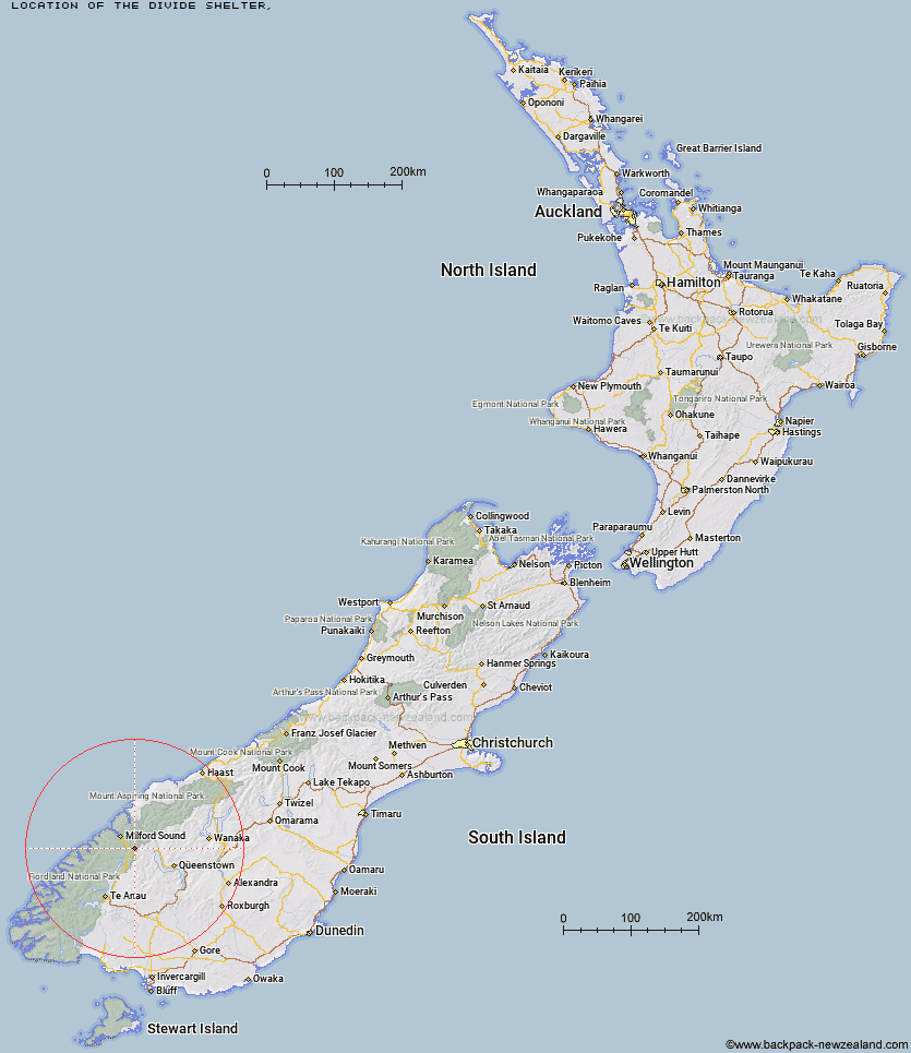
Topo Map showing location of The Divide Shelter
This information is sourced from DoC, LINZ and Openstreetmap. Some of the hut photos are mine and the rest are from DoC. I will be adding an upload feature soon so people can photos of .The Divide Shelter.
Latitude: -44.8248628885
Longitude: 168.11756609
Location:
Type of Hut:
Map: Topo Map | Road Map
Does this hut still exist? Have any more information? Contact
Latitude: -44.8248628885
Longitude: 168.11756609
Location:
Type of Hut:
Map: Topo Map | Road Map
Does this hut still exist? Have any more information? Contact
Scroll down to see a topographical map and road map showing the location of The Divide Shelter
[ A ] [ B ] [ C ] [ D ] [ E ] [ F ] [ G ] [ H ] [ I ] [ J ] [ K ] [ L ] [ M ] [ N ] [ O ] [ P ] [ Q ] [ R ] [ S ] [ T ] [ U ] [ V ] [ W ] [ Y ] [ Z ]
Closest 20 Huts to The Divide Shelter
These are as the crow fliesLake Howden Hut 1.74km McKellar Lodge 5.42km McKellar Hut 5.65km Lake Mackenzie Lodge 7.64km Lake Mackenzie Hut 7.76km Upper Caples Hut 8.52km Kay Creek Hut 10.56km Homer Hut 11.1km Phil's Bivvy 11.12km Gill's Bivvy 11.95km Routeburn Falls Lodge 12.71km Routeburn Falls Hut 12.76km Routeburn Flats Hut 13.47km Steele Creek Hut 13.64km Mid Caples Hut 14.35km Rats Nest Hut 14.42km Home Hill Hut 16.29km Steele Creek Lodge 17km Routeburn Shelter 17.31km Glade House 18.34km Clinton Hut 18.79km Slip Flat Hut 19.13km Greenstone Hut 20.62km Sunshine Hut 21.75km Hidden Falls Hut 22.38km Hirere Shelter 22.39km Sandfly Point Shelter 23.15km Turners Bivouac 23.99km Prairie Shelter 24.14km Bus Stop Shelter 24.8km Giant Gate Shelter 24.82km Pompolona Lodge 25.01km McIntyre's Hut 25.81km Worsley Hut 25.93km Jean Hut 26.1km Taipo Hut 26.41km Bonnie Jean Hut 26.43km Mintaro Hut 26.56km Boatshed Hut 26.71km McIntosh Hut 26.73km